GDMBR / ACA Route Planning Aids
Welcome to The Project’s GDMBR Planning Aids, designed to bridge the gap left by the lack of high-quality planning tools within bikepacking. As a Triple Crown thru-hiker, I’m accustomed to comprehensive planning resources, and I noticed that bikepacking needed similar quality tools. That’s why I developed these resources to make your GDMBR ride as smooth and well-prepared as possible.
Our planning aids include four distinct styles to help you plan your ride:
- The Data Sheet offers the most detailed information, including distance, elevation +/-, resupply options, notes and more for key POI.
- Town List provides cumulative distances between POI, and does the math so you don’t have to.
- Mileage Chart and Elevation Gain Chart are simple graphs showing cumulative mileage and elevation gain between POI.
If you can’t find what you’re looking for in these then it’s probably in our Tour Divide Resources.
Save big and support The Project at the same time! Check out our Affiliate Deals page for exclusive offers on top brands. Every purchase fuels our mission to provide you with the best guides and resources for your adventures. Bookmark it now and shop smarter—deals update regularly!


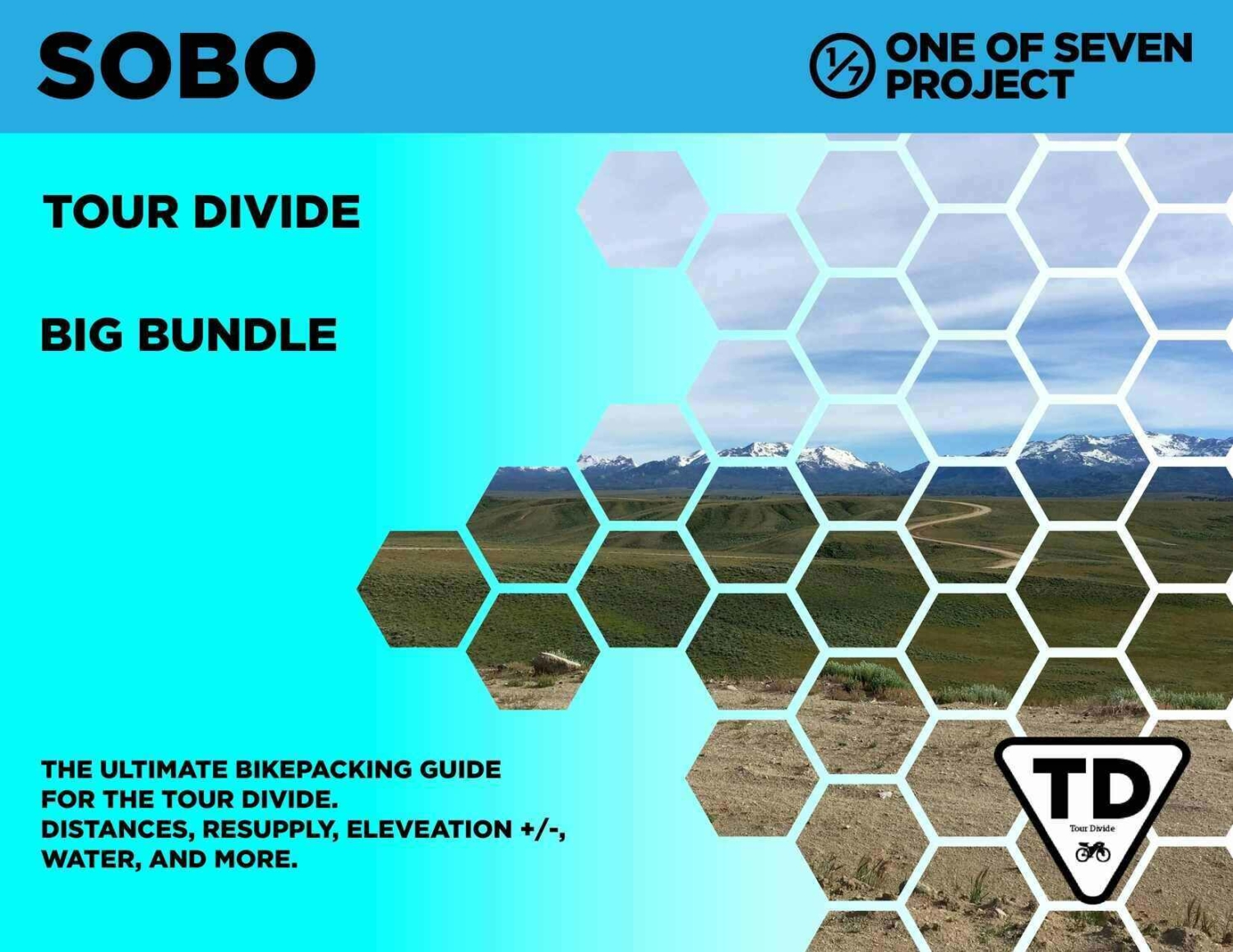

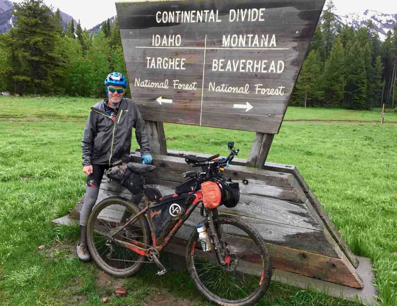
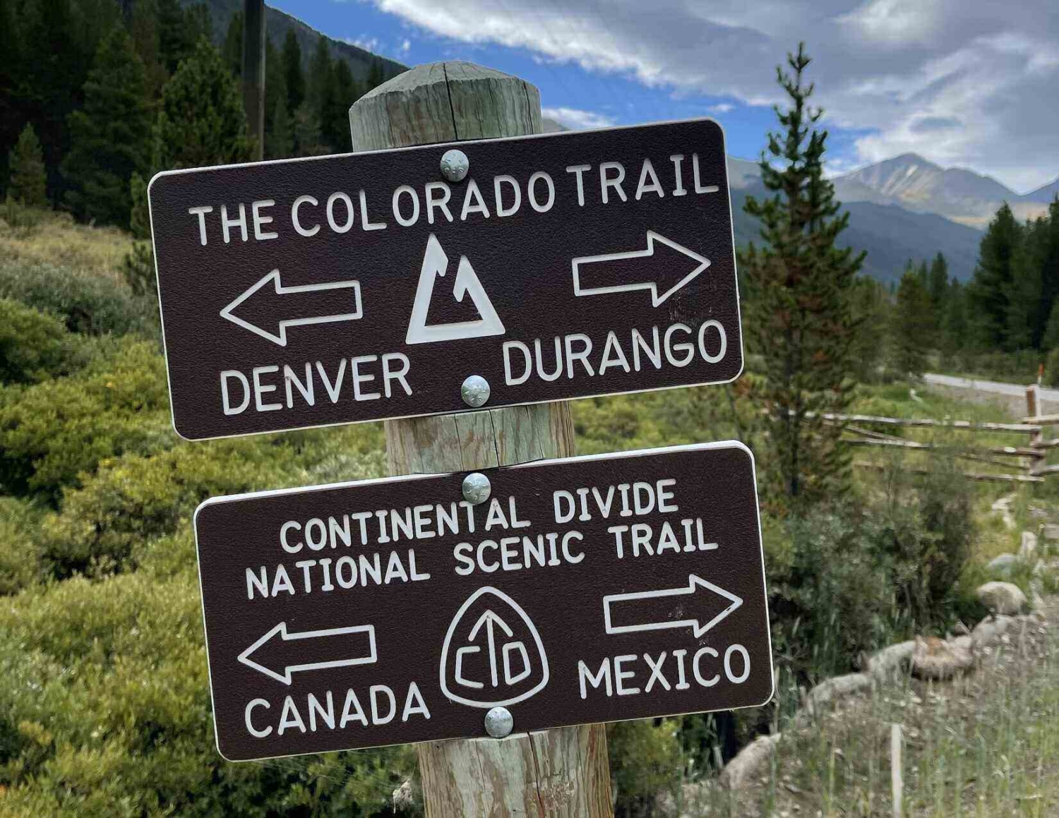


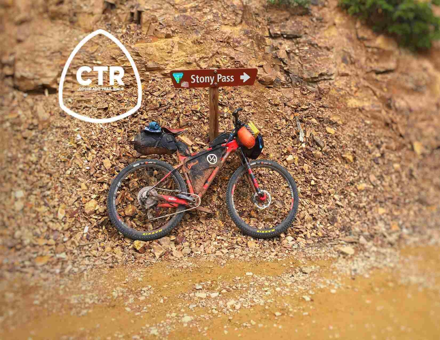

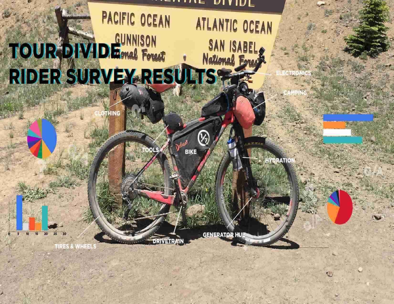
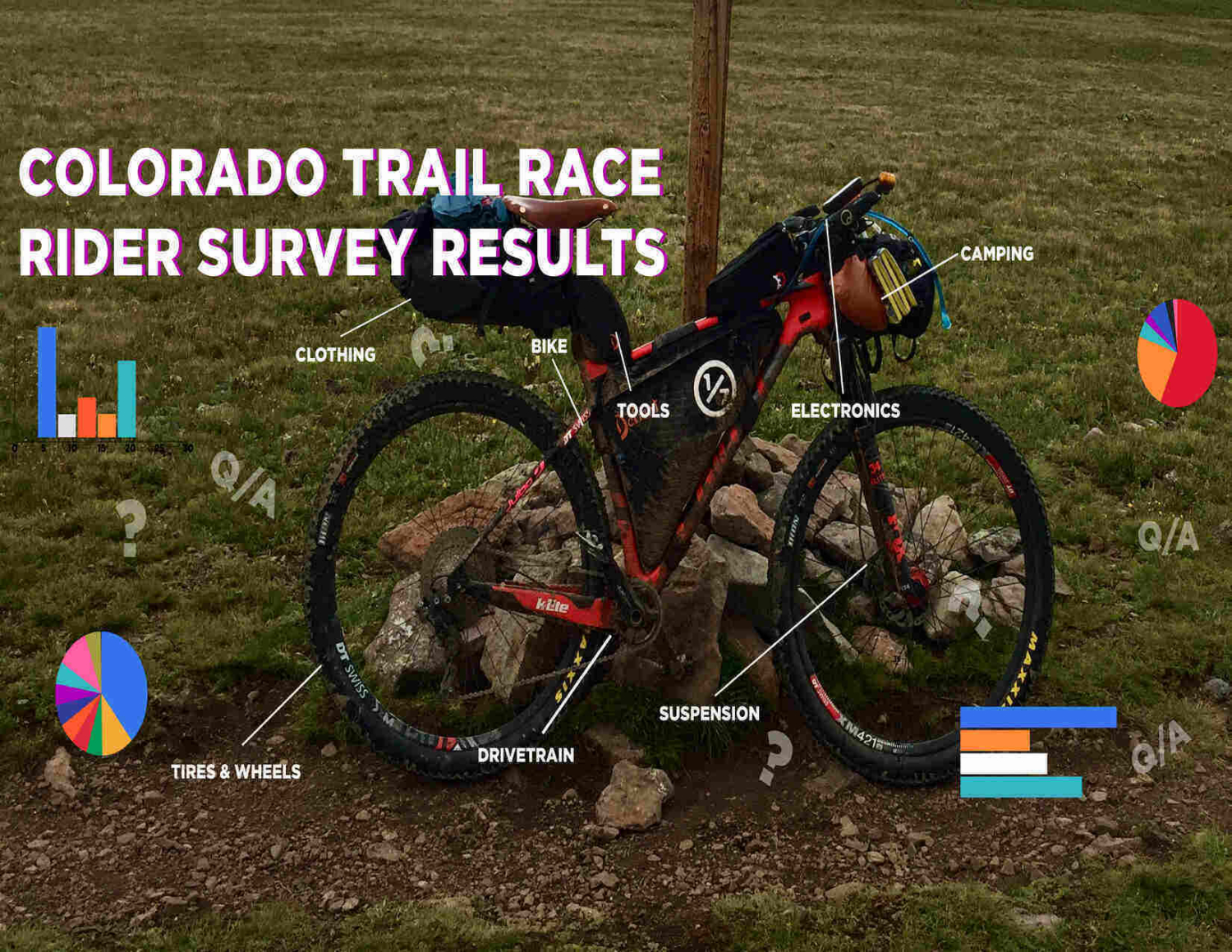
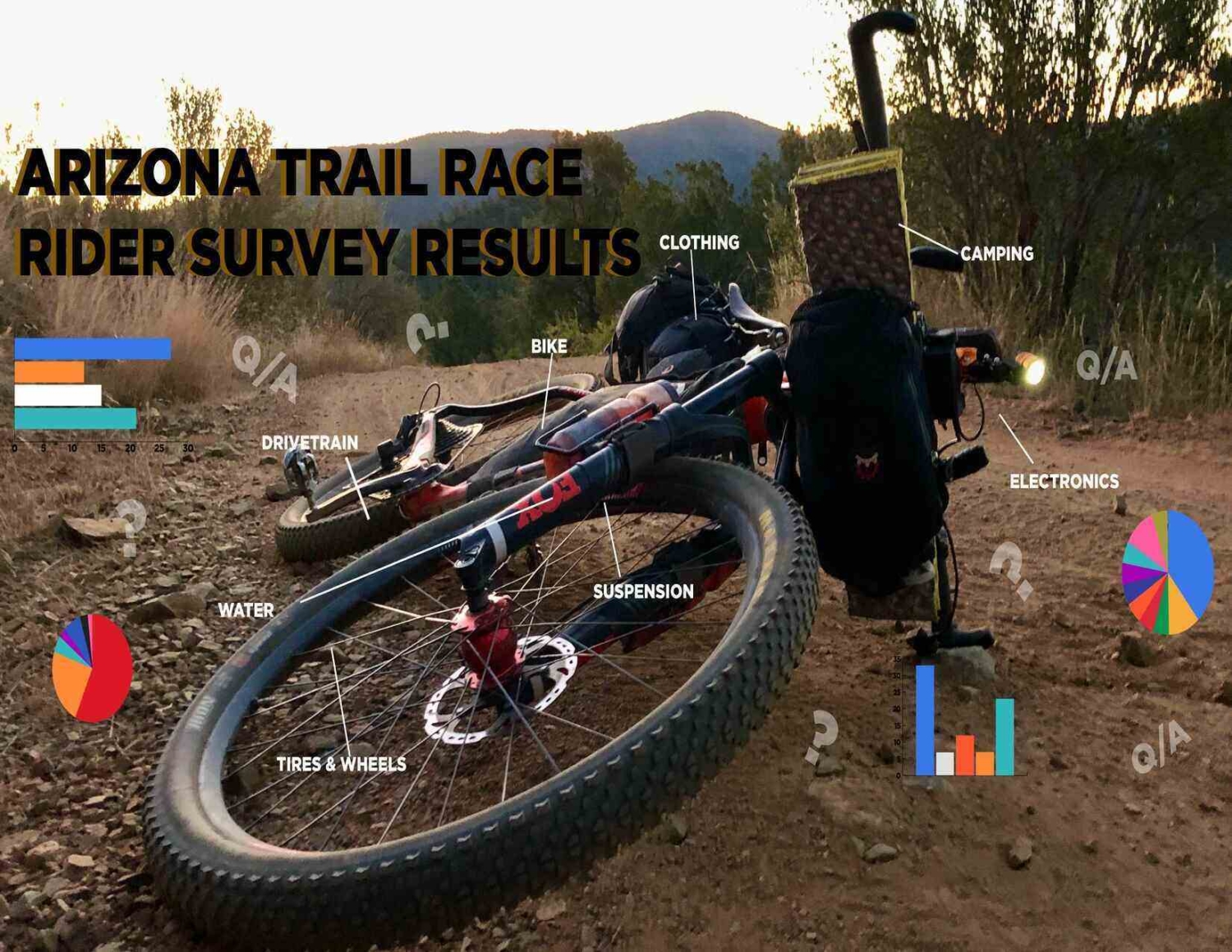
 Courtesy of Dirt Trails Wanted
 Courtesy of Dirt Trails Wanted
