Ultimate Guide to Tour Divide: Route, Resources, and More

Deciding to do the Tour Divide comes with a lot of questions and concerns, but rest assured, they’re not as daunting as they might seem. By starting with this Tour Divide Guide, you’ll be able to build a solid plan and break down the process of planning, and your worries can transform into confidence. The key is finding the right information.

This Tour Divide Guide serves as a straightforward overview of the Tour Divide. During my own journey on the Tour Divide, I recognized the need for a guide specifically tailored for bikepackers. To address this, I’ve broken down the route into simple sections to help you easily grasp the essentials. This page is part of a comprehensive guide designed to let you focus on riding your bike instead of spending countless hours searching the internet.

Where should you begin? This Tour Divide Guide is an excellent starting point. For more detailed information, check out our Tour Divide Planning Guide and Tour Divide Resupply Guide. You’ll find in-depth resources on resupply, transportation, gear, and much more. Dive into our resources and equip yourself for a successful adventure!

As an affiliate partner, One of Seven Project earns a commission for purchases made through any product, brand logo links, or banner ads on this page. Thanks for your support!

  • SPOT llc ad

Save big and support The Project at the same time! Check out our Affiliate Deals page for exclusive offers on top brands. Every purchase fuels our mission to provide you with the best guides and resources for your adventures. Bookmark it now and shop smarter—deals update regularly!

Tour Divide Rider Survey

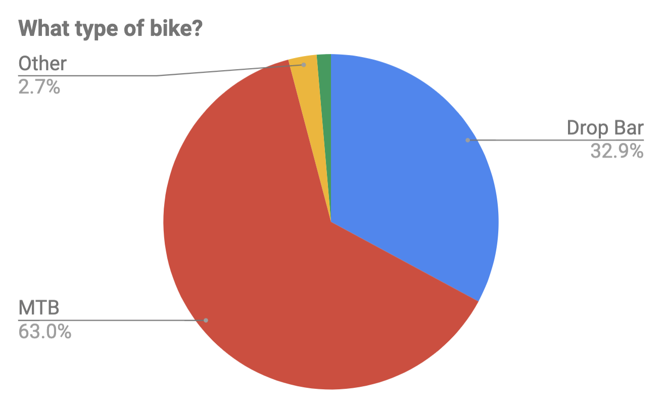
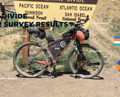
The Project conducts an ongoing rider survey to assist new riders in selecting the right gear for the Tour Divide. Embarking on an adventure like the Tour Divide can be daunting, and the planning process overwhelming. We hope this survey will aid new riders in their preparation and execution of their Tour Divide ride, ensuring they are better equipped for their adventure.

If you haven’t taken the Tour Divide Rider Survey yet, we encourage you to participate through the links below.

***Please pay close attention to the examples provided for questions requiring typed answers. If responses are not entered exactly as shown in the examples, I will need to correct them, which can skew the results. Thank you in advance!

Tour Divide Rider Survey Example

Covers: bikes, suspension, tires & wheels, drivetrain, and Components.

Covers: navigation planning, camping, logistic/travel, clothes, and more.

Stats

DISTANCE

2745 Miles (4418km)

DIFFICULTY (1-10)

5-6

Elevation Gain

200,000 Feet (60,960m)

HIGHEST POINT

11,913 Feet (3631m)

TIME REQUIRED

13—40 Days

% SINGLETRACK

<1%

% UNPAVED

70%

Time of Year

June to October

Race Date

2nd Friday of June

Closest Towns to Start/Finish

Banff, AB and Lordsburg, NM

Race Record

Male Mike Hall (2016) 13:22:51
Female Lael Wilcox (2015) 15:10:59

Overview

Tour Divide Guide: An Overview of the Route

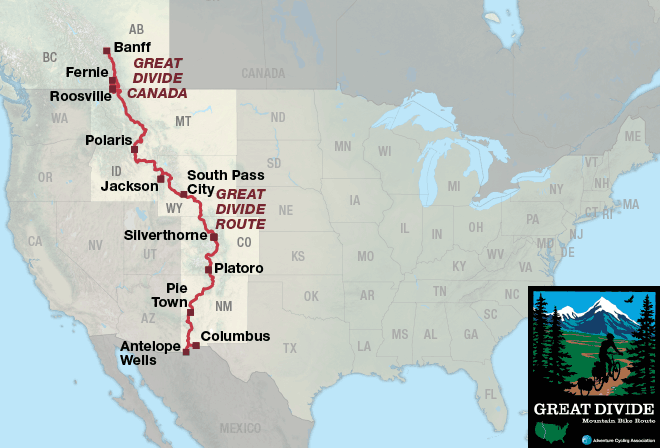
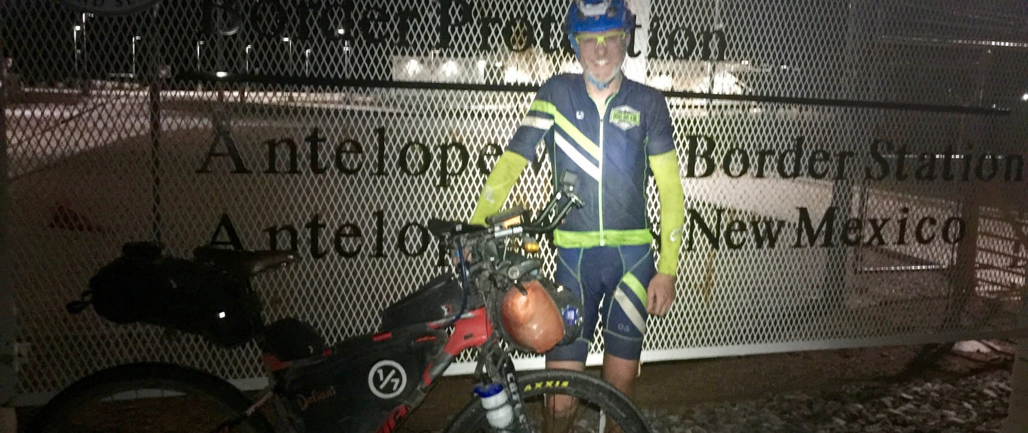
The Tour Divide is a legendary 2,745-mile route that stretches from Banff, Alberta, to Antelope Wells, New Mexico. Approximately 70% off-road, the trail consists of gravel roads, jeep tracks, and a small percentage of singletrack, offering a diverse and challenging terrain. Spanning the Canadian provinces of Alberta and British Columbia and the U.S. states of Montana, Idaho, Wyoming, Colorado, and New Mexico, the route covers an impressive range of landscapes.

Tour Divide Guide: History and the Grand Depart

Based on the Great Divide Mountain Bike Route (GDMBR) from the Adventure Cycling Association, the Tour Divide took four years to map and was officially released in 1998. The first individual time trial (ITT) of the route occurred in 2005, with the inaugural Grand Depart taking place in 2008. Held annually on the second Friday in June, the Grand Depart started with just a handful of riders but now attracts nearly 200 participants, each testing themselves against the route, the elements, and their own limits.

Tour Divide Guide: Challenges and Planning Resources

Starting in Banff, the Tour Divide winds through the Canadian Rockies, past glacial rivers, and through grizzly bear territory. As the route progresses south, it traverses a variety of landscapes: mountain wilderness in Montana and Colorado, grasslands and rolling hills in Idaho and Wyoming, and high deserts in southern Colorado and New Mexico. Near the U.S.-Mexico border, riders are treated to the unique environment of the Chihuahuan Desert.

Despite its lack of technical singletrack, the Tour Divide is a formidable challenge. With a 60% attrition rate, riders often face exhaustion, hypothermia, boredom, and mechanical issues on this longest bikepacking route in the world.

For essential gear recommendations, check out my If I Rode…Again Series. For detailed resupply options, including data sheets, town lists, mileage charts, and elevation gain charts, visit our Tour Divide Planning Aids.

While we don’t have a separate resource for the GDMBR, we do offer planning aids. 

Map tour divide bikepacking guide TD Tour Divide Transportation Guide tour divide guide

Route

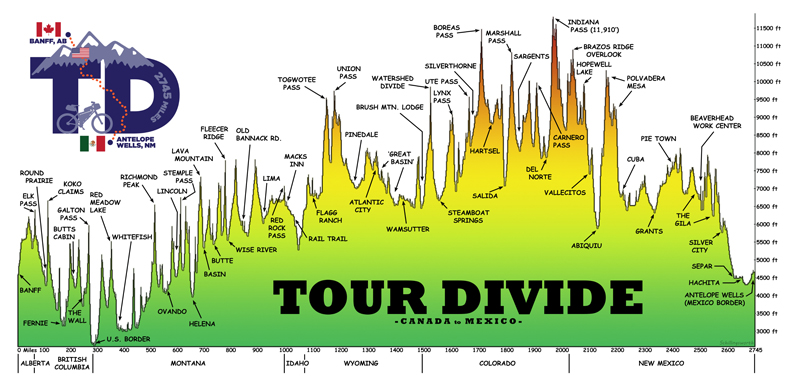
Elevation profiles provided by John Schilling.  Support John’s effort by purchasing prints, sticks and mugs of these profiles.

2025 TOUR DIVIDE COUNT DOWN

June 13, 2025

0Weeks0Days0Hours0Minutes0Seconds

TOUR DIVIDE RACING

Tour Divide

The Tour Divide is not a sanctioned or organized race; instead, it is regarded as a large group ride that follows a fixed route, set time, and a simple set of rules. Participants should understand this and adhere to the gentleman’s agreement to “race” fairly and follow the rules. There are no checkpoints, race organizers, aid stations, or external support of any kind. You are solely responsible for your own welfare throughout the journey.

The Tour Divide begins in Banff on the second Friday of June. To prevent overcrowding on the local trail system, the start is now staggered into waves. Typically, there is a neutral rollout, with the race officially starting when riders hit the dirt road just south of the Fairmont Banff Springs Hotel.

Suggested Start Date:

  • Second Friday of June (staggered start)

Registration:

Rules

Bikepack racing is typically unorganized, with no entry fees or prizes, but a general set of guidelines exists to ensure fairness among participants. The rules aim to create a level playing field for everyone who decides to take on the challenge.

Please note these are general rules for bikepack racing. Each event may have its own specific rules, which can change over time. It’s crucial to read and understand the official rules for the Tour Divide, which can be found at the link below.

  1. Racers must cover the entire route under their own power.
  2. No outside support is allowed.
  3. Food/supply caching on the trail ahead of time is not allowed, but shipping items to a Post Office is permitted.
  4. Motorized transportation or hitch-hiking, except for travel to hospital/medical care, is not allowed at any time.

The following are allowed, but should be used sparingly:

  1. Unintended assistance from fellow racers is acceptable.
  2. Trail magic is okay, but no begging or hinting for help.
  3. Mailing resupplies to Post Offices is acceptable.

For the full set of rules, visit TourDivide.org.

No entry fee, no prizes, absolutely no support.

Important Race Information

Registration:
To register, send letters of intent after the winter solstice to tourdivide@gmail.com.

GPX File:
The GPX file for the route can be found at TopoFusion.com, typically updated about a week before the start.

In-Race Updates:
In-race updates, called “Rained Out,” are used to notify racers of any route changes or detours. Links for updates will be sent via text message or email (for non-US phones).

Bear Spray Discount:
A 15% discount on bear spray is usually arranged in the months leading up to the race. Keep an eye on the Facebook pages for details.

Special Perks:

  • Salsa Stem Caps: These are typically available at the start in Banff.
  • Pie Town Treat: Enjoy a free piece of pie when you reach Pie Town, NM.

SPOT Tracker Set Up

Check out our Spot Tracker Setup Guide to make sure you’re SPOT is properly set up for the event.

SPOT Tracking

While carrying a SPOT tracker is not mandatory for racers and those touring the Tour Divide, it is highly recommended due to the trail’s remoteness and difficulty. From a safety perspective, it’s advisable to have one. Racers can sign up for SPOT tracking at Trackleaders.com about one month before the race.

SPOT Rental

You can rent a SPOT tracker from Trackleaders.com approximately one month before the race. Information about rentals will be sent to the email address you used when signing up. For further details, check Trackleaders or Bikepacking.net forums closer to the race date.

Purchase a SPOT Tracker

Don’t have or you’re looking to replace your old Spot with a newer model? Buy your new Spot through this link and help support The Project by shopping with our affiliates. Thanks!

ACA Logo

Support The ACA

The Adventure Cycling Association (ACA) is not directly involved in the race but is the organization behind the creation of the route and its detailed maps. Their work provides the foundation for this incredible journey. Consider supporting the ACA by becoming a member. Membership is only $45 and includes various benefits, such as discounts on maps and other perks. Your support helps sustain the resources that make events like the Tour Divide possible.

As an affiliate partner, One of Seven Project earns a commission for purchases made through any product, brand logo links, or banner ads on this page. Thanks for your support!

Tour Divide Planning Aids

Tour Divide Guide: Ultimate Planning Resource

Welcome to The Project’s Tour Divide Planning Aids, designed to bridge the gap left by the lack of high-quality planning tools within bikepacking. As a Triple Crown thru-hiker, I’m accustomed to comprehensive planning resources, and I noticed that bikepacking needed similar quality tools. That’s why I developed these resources to make your Tour Divide adventure as smooth and well-prepared as possible.
Our planning aids include four distinct styles to help you plan your ride:

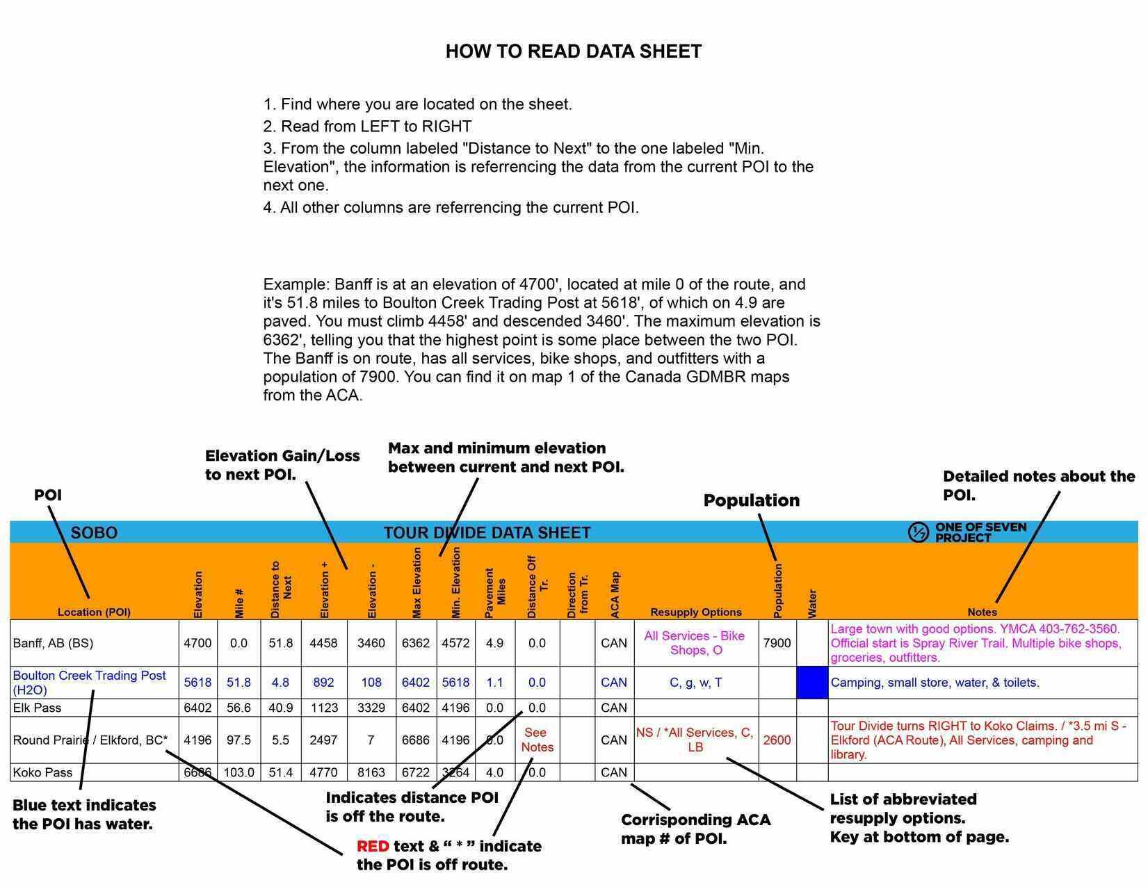
  • The Data Sheet: Offers the most detailed information, including distance, elevation +/-, resupply options, notes and more for key POI.
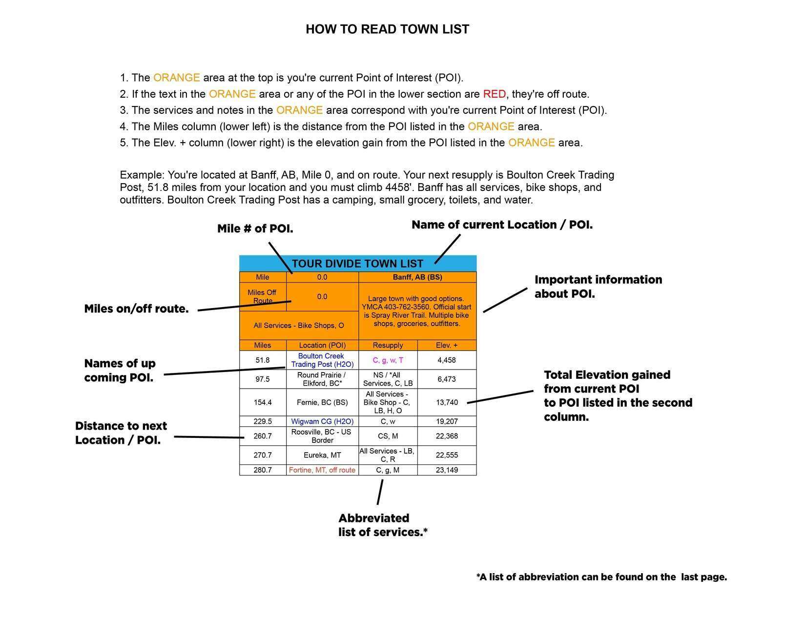
  • Town List: provides cumulative distances between POI, and does the math so you don’t have to.
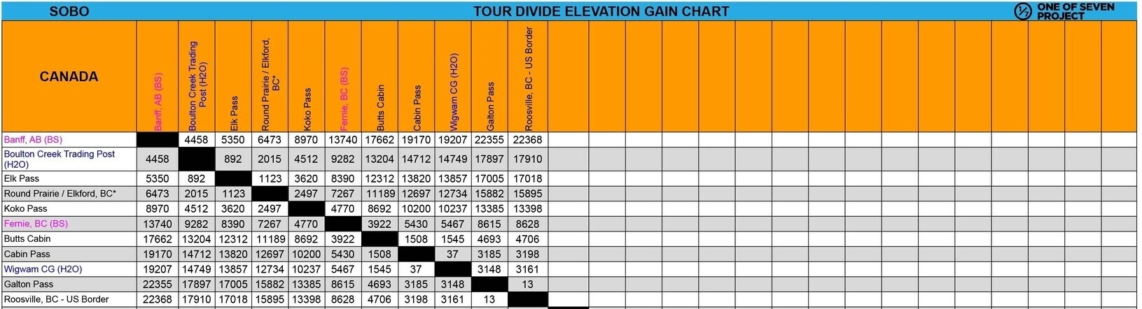
  • Mileage Chart and Elevation Gain Chart: are simple graphs showing cumulative mileage and elevation gain between POI.

Additional Resources

  • Why Use Our Planning Aids: Check out the “Why Choose Our Planning Aids” tab below for an in-depth explanation of their value, including how they simplify preparation, save time, and provide clarity bikepacking adventures and racing.
  • Tour Divide Maps: Explore our companion Ride with GPS maps tab below, to visualize the route, identify POIs, and download files for offline navigation.

Explore our offerings to find the perfect combination for your needs and get ready to conquer the Tour Divide! Don’t forget to checkout our online Tour Divide Resources as well.
BUNDLES

Small Bundles:

Big Bundles:

The Small Bundle includes our two most popular planning aids, giving bikepackers essential route data in a streamlined format. With key logistics, cumulative mileage, and resupply details at your fingertips, this bundle simplifies planning and keeps you focused on the ride.

  • Data Sheet – The most comprehensive planning tool, packed with mileage, elevation gain/loss, resupply points, and key logistics.
  • Town List – Cumulative mileage and elevation gain between POIs, helping track progress and plan stops efficiently.

The Big Bundle provides the most complete set of planning tools, ensuring you have everything needed to plan effectively and ride with confidence.

  • Data Sheet – Detailed mileage, elevation, and resupply information for comprehensive planning.
  • Town List – Cumulative distance and elevation tracking for easy route management.
  • Mileage Chart – Quick-reference breakdown of distances between key points.
  • Elevation Gain Chart – Clear elevation changes to help anticipate climbs and descents.

Available in both SOBO and NOBO versions, as well as both US Standard and Metric units.

Small Bundle – $40.00  *You save $10 when you bundle!

Big Bundle – $60.00  *You save $20 when you bundle!

This website is awesome, very professionally done and has been a great resource.”

Craig, I wanted to let you know that your bikepacking guides are incredibly well done and useful.

DATA SHEETS / TOWN LISTS

Data Sheets:

Town Lists:

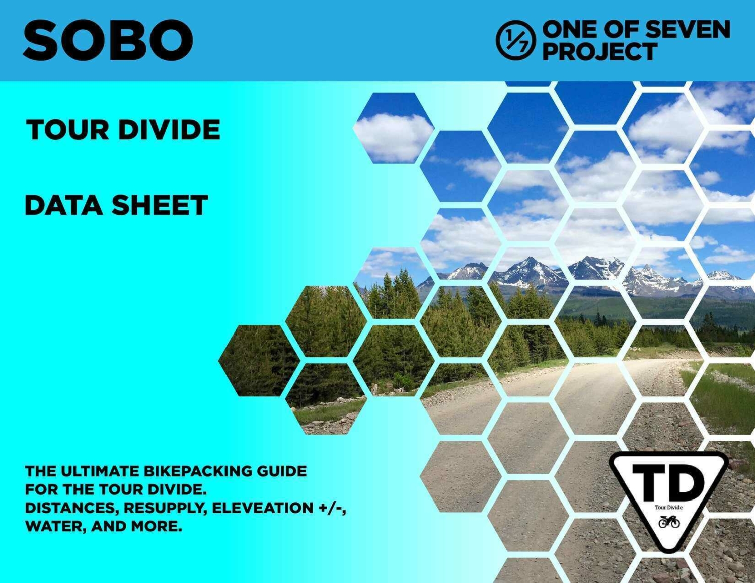
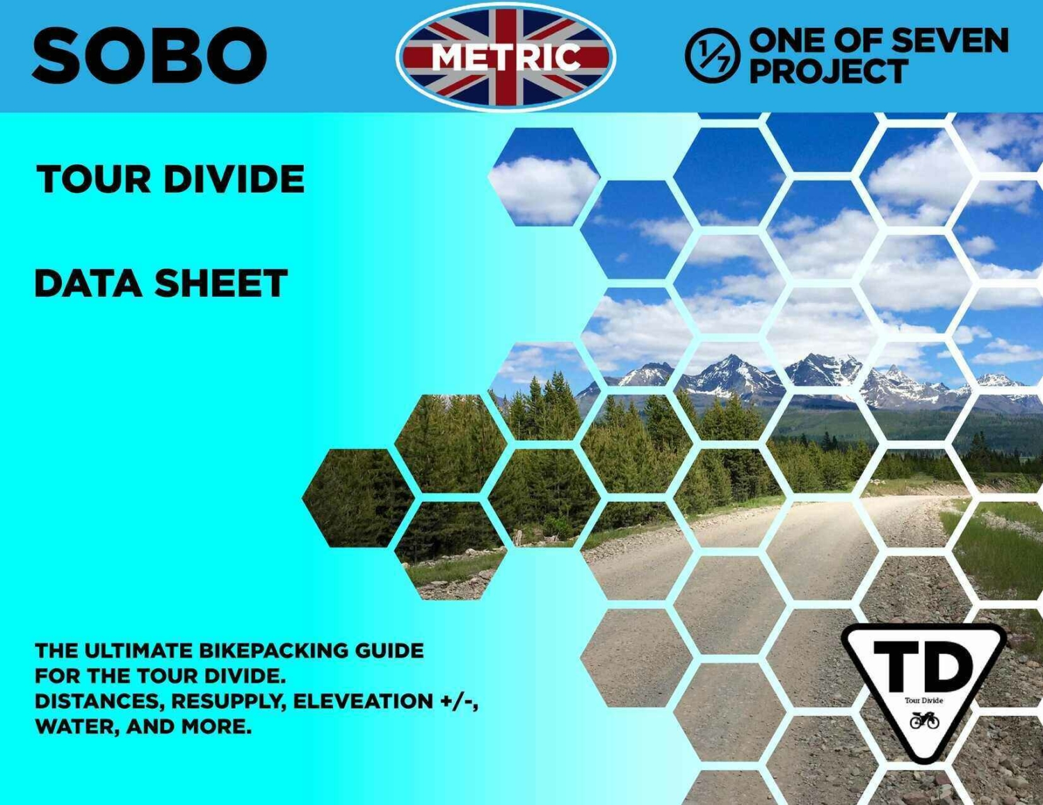
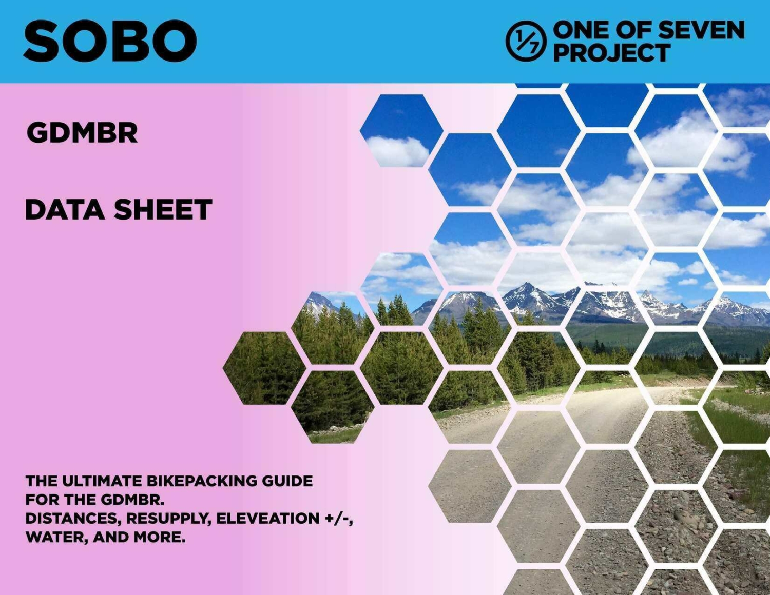
The Data Sheet is our most comprehensive planning tool, packed with detailed route data, including mileage, elevation gain/loss, resupply points, key logistics, and more to support every aspect of your ride. Designed to be the ultimate resupply tool, it ensures bikepackers have the critical information needed to plan their route efficiently and make informed decisions on the go.

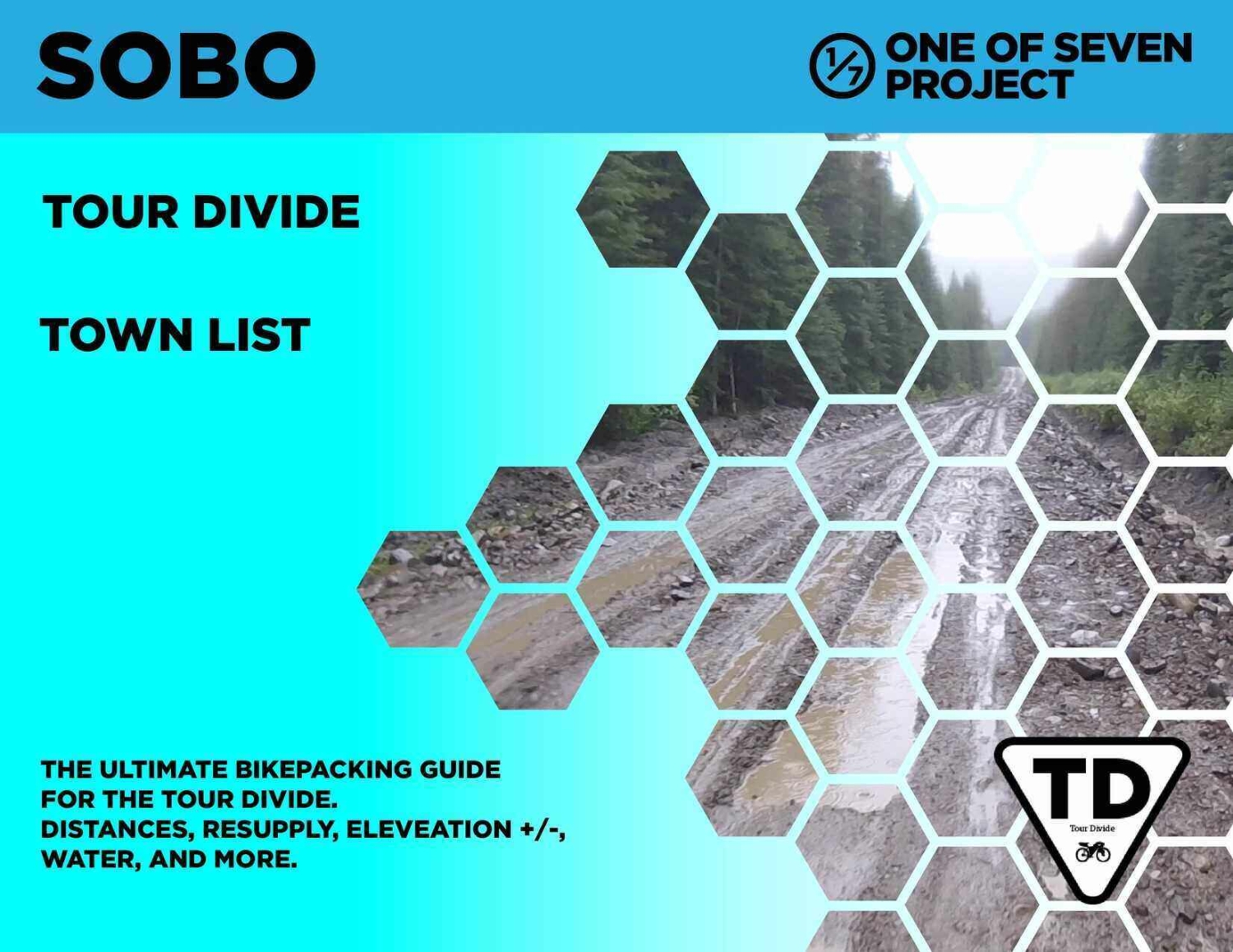
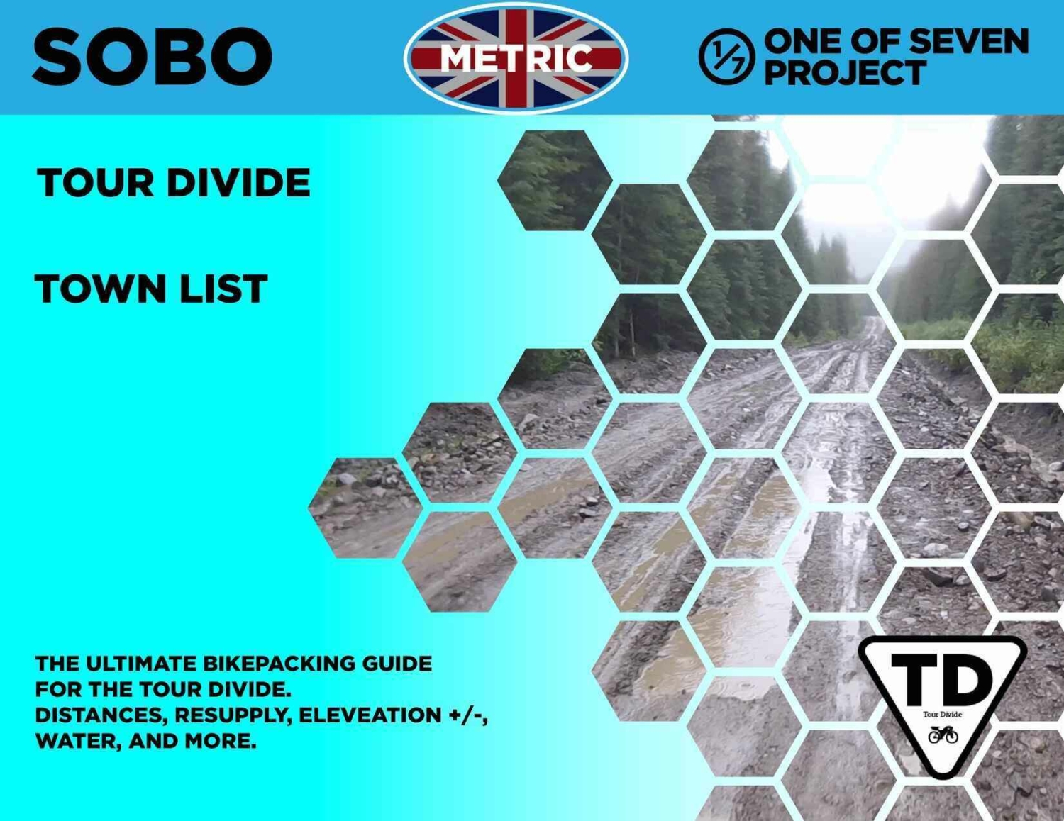
The Town List provides cumulative distances and elevation gain between multiple POIs, helping bikepackers track progress and plan resupply stops with ease. By doing the math for you, it saves time and lets you focus on the ride.

Data Sheet ONLY available in SOBO version, as well as both US Standard and Metric units.

Town Lists are ONLY available as part of the Small or Big Bundle.

Data Sheet – $25

Town List (ONLY available as part of the Small or Big Bundle.)

This website is awesome, very professionally done and has been a great resource.”

Craig, I wanted to let you know that your bikepacking guides are incredibly well done and useful.

MILEAGE / ELEVATION GAIN CHARTS

Mileage Charts:

Elevation Gain Charts:

The Mileage Chart provides a quick-reference breakdown of distances between key points along the route, helping bikepackers plan resupply stops and daily targets efficiently.

  • Shows bike shops.
  • Works for both directions.
  • Key water sources.

The Elevation Gain Chart delivers a clear view of total elevation changes, allowing riders to anticipate climbs, descents, and overall route difficulty at a glance.

    • Shows bike shops.
    • Works for both directions.
    • Key water sources.

The Mileage and Elevation Gain Charts are ONLY available as part of the Big Bundle.
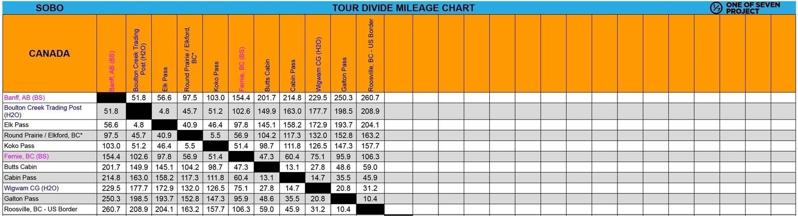
Mileage and Elevation Gain Carts are our available as part of the Big Bundle.
Big Bundle – $60.00  *You save $20 when you bundle!

This website is awesome, very professionally done and has been a great resource.”

Craig, I wanted to let you know that your bikepacking guides are incredibly well done and useful.

Why Use Our Planning Aids?

Our Tour Divide Planning Aids for bikepacking and hiking are trusted by experienced bikepackers, endurance riders, and hikers because they simplify preparation and provide clarity where it matters most. With our Tour Divide Planning Aids, you can:

  • Plan with Confidence: Know exactly what’s ahead, from water stops to elevation changes, whether you're on two wheels or exploring on foot.
  • Save Time: Get all the key route details in one organized place—no more piecing together scattered info, whether you're planning a ride or a hike.
  • Stay Focused on the Journey: With your prep done, you’ll spend less time worrying and more time enjoying the experience, whether you're riding or hiking.

What Are Planning Aids?

Our  Tour Divide Planning Aids are comprehensive resources designed to assist bikepackers in effectively planning and navigating their adventures. Whether you’re tackling challenging bikepacking routes, or exploring scenic trails, these aids deliver critical route data and information to simplify your preparation and keep you focused on your journey.

From mileage data to key resupply points and water sources, our Tour Divide Planning Aids provide the essential details to help you stay on track and fully experience the trail. We aim to support your success, no matter how you choose to explore the outdoors.

What You Get

When you choose our Tour Divide Planning Aids, you gain access to reliable and organized route-specific data, including:

  • Point-of-Interest (POI) Data:
    • Mileage markers, cumulative distances, and key stops along the route.
    • Locations for resupply points, water sources, bike shops, and other critical services.
  • Route Metrics:
    • Elevation gain/loss, max/min elevations, and pavement mileage.
    • Detailed charts to help you anticipate climbs, descents, and varying terrain.
  • Practical Notes for Riders:
    • Guidance for navigating remote areas, staying prepared for dry stretches, and hitting resupply points.
    • Finish targets and other planning details to set achievable goals for each ride.
  • Convenient Formats:
    • Delivered as easy-to-use PDF files, available in both SOBO (Southbound) and NOBO (Northbound) formats where applicable.
  • Free Updates Throughout the Year:
    • Planning Aids include the most current data available at the time of purchase and are valid through December 31 of that year. If new information becomes available, you’ll receive free updates via email to ensure you’re always using the latest data.

This website is awesome, very professionally done and has been a great resource.”

Craig, I wanted to let you know that your bikepacking guides are incredibly well done and useful.

Tour Divide Maps

Plan Smarter with the Tour Divide Maps and Planning Aids

The Tour Divide is one of the most challenging bikepacking routes in the world, stretching thousands of miles through remote terrain and breathtaking landscapes. Proper preparation is essential for success, and these interactive maps, based on the official race route, are designed to complement the One of Seven Project's Tour Divide Planning Aids, giving you a powerful combination of tools to streamline your planning process.

  • Route visualization: Use the maps to explore the route, identify Points of Interest (POIs), and understand the trail's layout. Icons represent water sources, resupply points, towns, and bike shops, offering a high-level view of critical stops along the way.
  • Downloadable backup: By downloading these maps from Ride with GPS, you’ll have a reliable backup GPX file to use if your GPS device runs out of battery or breaks.
  • Detailed insights: Dive deeper into the Planning Aids for essential data like mileage, elevation gain/loss, resupply strategies, and water details—organized to help you tackle the unique challenges of the Tour Divide with confidence.

Together, these resources provide everything you need to map out a realistic strategy for tackling the Tour Divide, whether you're racing or touring. Start planning your adventure today!

MUST KNOW

  1. Epic Distance:
    Spanning 2,745 miles from Banff, Alberta to Antelope Wells, New Mexico, the Tour Divide is one of the longest bikepacking routes in the world.
  2. Diverse Terrain:
    The route features approximately 70% off-road terrain, including gravel roads, jeep tracks, and a small percentage of singletrack, offering a mix of challenging surfaces.
  3. Scenic Landscapes:
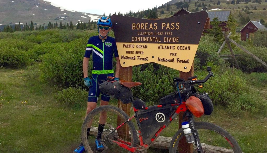
    Riders experience a vast array of landscapes, from Flathead Valley in Alberta, Grand Teton National Park and the Great Divide Basin in Wyoming, Boreas and Indiana Pass (the routes highest point at 11,913′) in Colorado, Polvadera Mesa, and the Gila Wilderness in New Mexico.
  4. Bear Country:
    The route passes through grizzly bear territory in the Canadian Rockies, adding an element of adventure and caution.
  5. Challenging Conditions:
    With a high attrition rate of around 60%, the Tour Divide tests riders’ endurance against exhaustion, hypothermia, boredom, and mechanical issues.
  6. Community Spirit:
    Despite its challenges, the race fosters a strong sense of community among participants, with shared experiences and mutual support.
  7. Iconic Stop:
    In Pie Town, NM, riders can enjoy a free piece of pie, a notable and much-anticipated stop along the route.
  8. Historical Significance:
    The route is based on the Great Divide Mountain Bike Route (GDMBR), developed by the Adventure Cycling Association, and has been a cornerstone of bikepacking history since its inception.

These highlights reflect the unique and demanding nature of the Tour Divide, making it a standout challenge for bikepackers.

  1. Length and Endurance:
    Covering 2,745 miles, the Tour Divide demands significant physical endurance and mental fortitude. Riders often spend weeks on the trail, requiring stamina and resilience.

    Remote Terrain:
    The route traverses vast, remote areas with limited access to services or help, increasing the challenge of self-sufficiency.

    Variable Weather:
    Riders face diverse and extreme weather conditions, including heavy rain, snow, and intense heat, depending on the region and time of year.

    High Altitude:
    Sections of the route, particularly in Colorado, involve high-altitude riding. Riders must contend with thinner air and the effects of altitude.

    Rough Terrain:
    Approximately 70% of the route consists of off-road terrain, including gravel roads, jeep tracks, and some singletrack, which can be physically demanding and challenging.

    Bear Country:
    The trail passes through areas inhabited by grizzly bears, particularly in the Canadian Rockies, requiring riders to be cautious and prepared for wildlife encounters.

    Isolation:
    Many segments of the route are in isolated areas where mobile phone coverage is limited, making communication and emergency response challenging.

    Mechanical Issues:
    With limited access to bike repair facilities, riders must be self-reliant and capable of performing repairs in case of mechanical failures.

    Nutritional Needs:
    The absence of aid stations means riders must carefully plan and carry food and water supplies, managing resupplies at remote locations or via mail drops.

    Physical and Mental Fatigue:
    Long distances, challenging terrain, and variable weather contribute to both physical and mental fatigue, testing riders’ endurance and determination.

    Attrition Rate:
    The race has a high attrition rate, with around 60% of participants not completing the route, reflecting the significant challenges involved.

    Navigation:
    Navigating the route requires solid map-reading and GPS skills, as the trail often includes unmarked or remote sections.

    These factors make the Tour Divide one of the most challenging bikepacking routes in the world, requiring riders to be well-prepared and resilient.

  1. Resupply Points:
    The Tour Divide route includes various resupply points where riders can purchase food and water. These are often found in small towns and communities along the route. Not all options are the same. Some are great, while others are very slim. Planning ahead and knowing the location of these points is crucial. For detailed information, check out our Tour Divide Planning Guides.
  2. Food Planning:
    Due to the long stretches between resupply points, riders need to carefully plan their food supplies. Carrying lightweight, high-calorie food is essential for maintaining energy. Be sure to know where the long stretches without food are located.
  3. Water Sources:
    Water sources along the route can be unpredictable. Some sections may have natural sources like streams and rivers, while others may require purchasing water in towns. The only two places where water was an issue was the Great Basin and Beaverhead area in NM. Be prepared with a reliable water filtration system.
  4. Emergency Supplies:
    Always carry extra food and water to cover unforeseen delays or issues. Having backup supplies can make a significant difference in remote areas.

These resources and guides will help you navigate the food and water needs of the Tour Divide, ensuring you’re well-prepared for the journey.

  1. Campgrounds:
    The Tour Divide passes through several established campgrounds where you can set up camp for the night. These are often located in national forests, parks, and recreational areas.
  2. Dispersed Camping:
    In many sections, dispersed camping is allowed, meaning you can camp outside of designated campgrounds. It’s important to follow Leave No Trace principles and local regulations.
  3. Wildlife Considerations:
    As the route passes through bear country, particularly in the Canadian Rockies, proper food storage is essential to avoid attracting wildlife. Use bear-proof containers or hang food properly.
  4. High Altitude Camping:
    Some parts of the route, especially in Colorado, involve high-altitude camping. Be prepared for colder temperatures and thin air.
  5. Water Sources:
    When camping, ensure you’re near reliable water sources for drinking and cooking. Be prepared to filter or purify water from natural sources.
  6. Camping Gear:
    Choosing the right camping gear is crucial for comfort and safety. Lightweight, weather-resistant tents and sleeping systems are recommended. Our Gear List provides recommendations for essential camping equipment.
  7. Town Stops:
    Some towns along the route may offer additional camping options, such as RV parks or private campgrounds. For a list of towns and local camping options, check our Tour Divide Planning Aids.
  8. Campfire Guidelines:
    Campfires may be restricted in certain areas due to fire risk. Check local fire regulations and be prepared to use a camp stove instead.
  9. Camp Setup Tips:
    Finding a suitable campsite that offers protection from weather and adequate drainage is important. Our How to pick the Perfect Campsite post can provide guidance on choosing the best spot for your tent.

These resources and guides will help you navigate the camping aspects of the Tour Divide, ensuring a safe and enjoyable experience on the trail.

Dangers:

  • Weather Extremes:
    The route spans various climates, leading to unpredictable and extreme weather conditions. Riders may encounter heavy rain, snow, intense heat, or high winds. Prepare for all weather scenarios and check forecasts regularly.
  • Wildlife Encounters:
    Particularly in bear country (e.g., Canadian Rockies), encounters with wildlife like grizzly bears are possible. Proper food storage and bear safety practices are essential.
  • High Altitude Challenges:
    Sections of the route, especially in Colorado, involve high altitudes. Riders may experience altitude sickness, cold temperatures, and reduced oxygen levels.
  • Hypothermia:
    Cold and wet conditions, especially in high-altitude or northern regions, can lead to hypothermia. Ensure you have appropriate cold-weather gear and know the signs of hypothermia.
  • Fires:
    Wildfires may pose a risk, particularly in dry conditions. Be aware of fire restrictions and have a plan for safe camping.
  • Riding on Roads at Night:
    Certain sections of the route involve riding on roads, and nighttime riding can be particularly hazardous. Ensure you have proper lighting and reflective gear.

Pitfalls:

  • Mechanical Failures:
    With limited access to bike shops, mechanicals can be a significant problem. Carry essential tools and spare parts and are capable of performing your own repairs.
  • Isolation and Remoteness:
    Many sections of the route are in remote areas with limited access to services and communication. Be self-sufficient and carry adequate supplies.
  • Navigation Challenges:
    Navigating the extensive and unmarked route requires strong map-reading and GPS skills. Misnavigation can lead to delays and additional difficulties.
  • Physical and Mental Fatigue:
    The length and difficulty of the route can lead to both physical and mental exhaustion. Managing fatigue and maintaining motivation are crucial for completing the race.
  • Water Shortages:
    Access to water can be inconsistent, especially in remote areas. Ensure you have a reliable water filtration system and plan for resupply.
  • Food and Resupply Issues:
    Long stretches between resupply points require careful food planning and management. Running out of food or encountering closed stores can be problematic.
  • Strenuous Terrain:
    The route includes challenging terrain (steep climbs, rugged trails, and technical sections) that can be physically demanding. Riders need to be prepared for the physical strain of these difficult sections.
  • Exposure:
    Exposure to the elements can lead to sunburn, dehydration, or cold-related issues. Protecting yourself from extreme exposure is vital.
  • Costs Can Add Up:
    The overall cost of the trip, including gear, food, resupply, and potential repairs, can be significant. Budgeting for these expenses is important to avoid financial strain.
  • Visas:
    International riders must navigate visas and other passport-related hurdles along their way to the finish line.
  • Emergency Situations:
    In case of emergencies, having a SPOT tracker or similar device can be crucial for communication and rescue. Make sure to carry a tracking device and be familiar with its use.

PHOTOS OF THE TOUR DIVIDE

More Helpful TD Resources

Everything you need to plan a bikepacking trip on the Tour Divide.
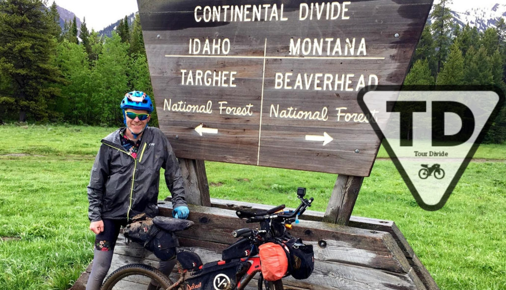
Tour Divide Planning Aids: Resupply, Mileage, and More
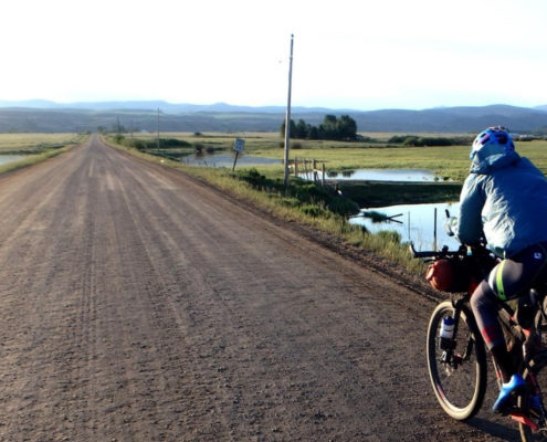
Checkout our full line of Tour Divide Planning Aids at our store. Choose from NOBO and SOBO / US standard and metric.

Tour Divide: My Prove Triple Crown Bikepacking Gear

  • Proven Bikepacking Gear | Tested on the Tour Divide & Triple Crown

A detailed look at what I used on the Tour Divide, what worked and what didn’t.

Tour Divide Gear: What Worked Well and What’s Even Better
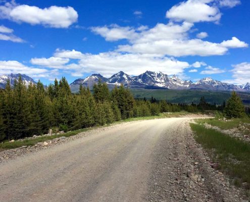
In depth look at what I would bring for gear and why, Tour Divide | What Worked Well and What’s Even Better.

Tour Divide Rider Survey: Essential Gear Insights for New Riders
Curios to know what gear other riders used to get to the finish line? Checkout our Rider Surveys to find out what works or to take the survey yourself.

Checkout our bikepacking resource page for more planning help.