As an affiliate partner, One of Seven Project earns a commission for purchases made through any product, brand logo links, or banner ads on this page. Thanks for your support!

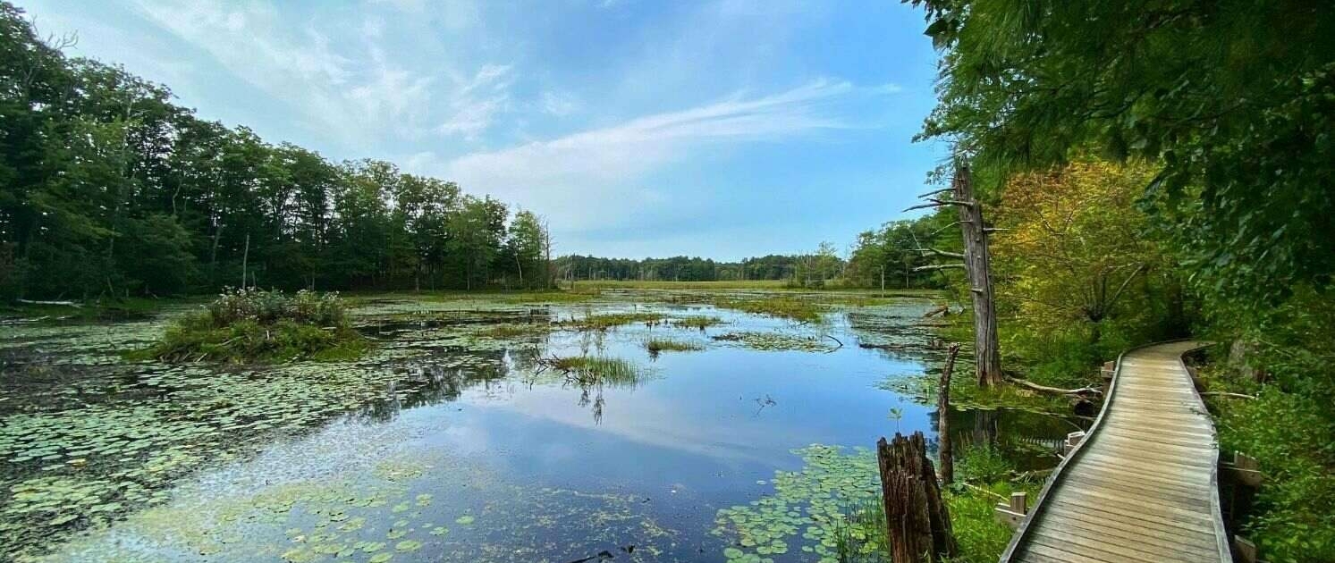
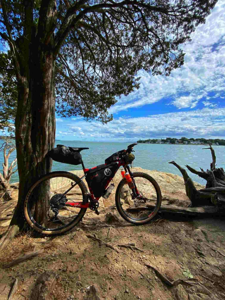
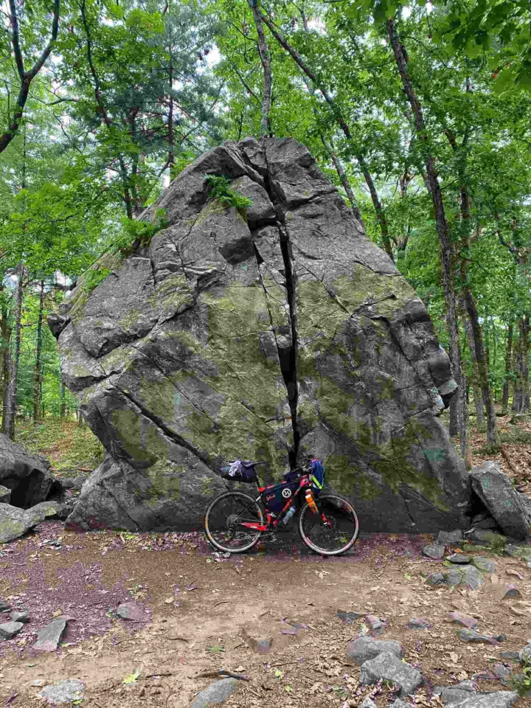
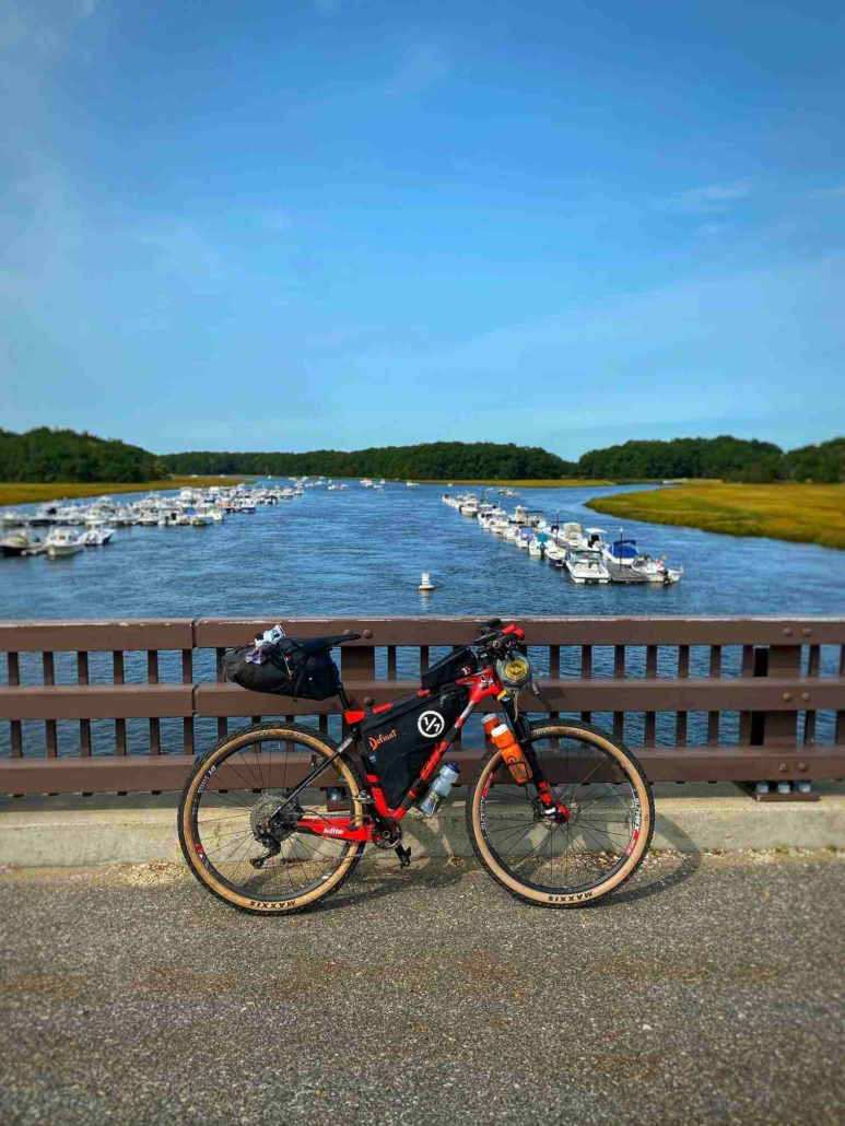
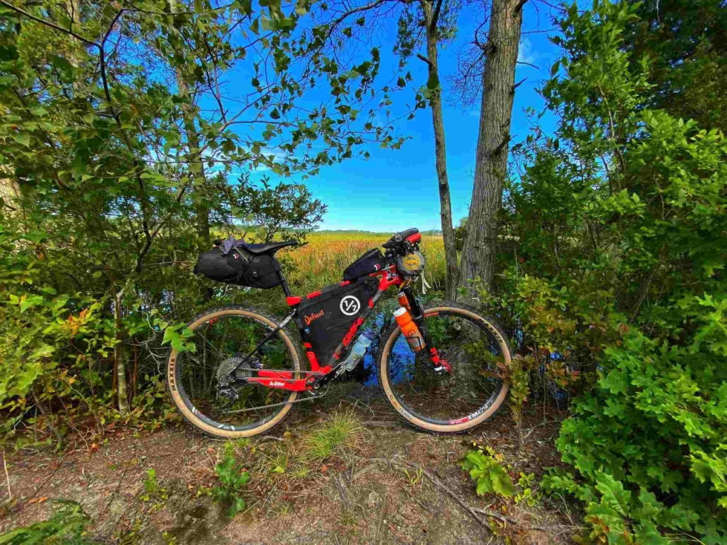
The Bay Circuit Trail is an unique combination of trails and roads. Together they form the shape of the letter “C” around Boston. The northern terminus is in Newburyport, MA and the southern is in Duxbury, some 230 (209 by bike) miles away. The trail was formed to use green spaces within urban areas and give residents a place to experience nature.
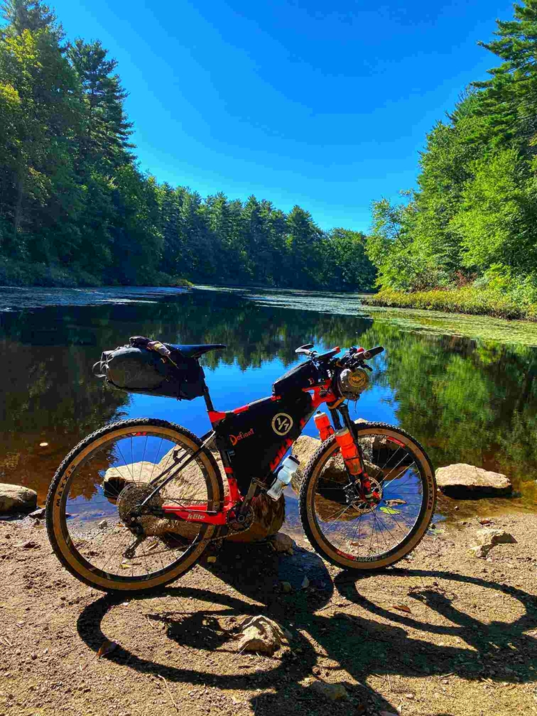
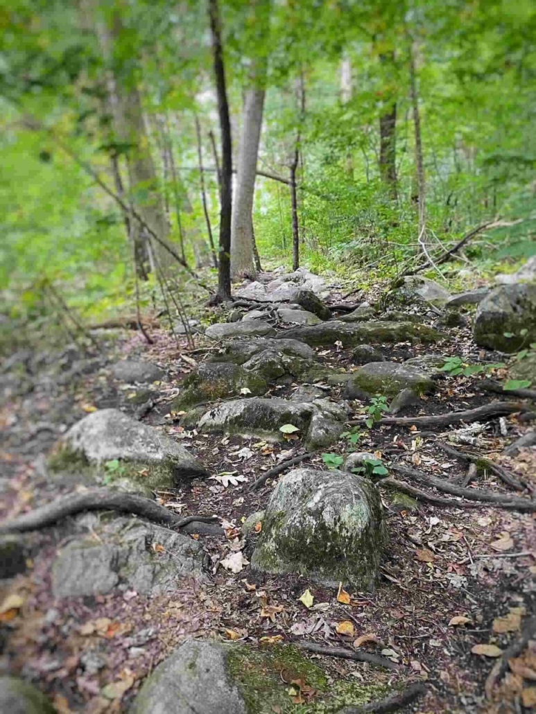
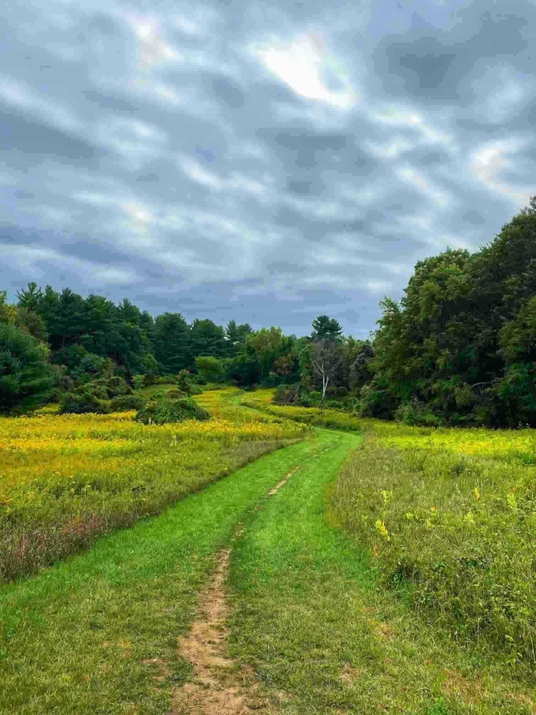
Though the trail wasn’t originally built for bikepackers, there are only a few areas bikes are not allowed and only one or two others that one might not want to ride/push a bike (but that’s part of bikepacking after all).
Since the trail is a combination of roads and dirt hiking trails, the Bay Circuit Trail is great for beginners or those looking to do small sections. Camping is very limited, making a thru-ride logistically tough. On the other hand there are plenty of services along the route, which makes resupply a snap.
This Bay Circuit Trail Bikepacking Guide includes all the tools one needs to plan their own adventure on the Bay Circuit Trail. It’s a smaller version of my larger bikepacking guides, which include the Arizona Trail, Tour Divide and Colorado Trail. Happy planning!
Shopping with our affiliates helps fund the development of content like this.
209 Miles (336km) Bike
4
11,400 Feet (3474m)
602 Feet (183.5m)
3 – 7 Days
45%
60%
Spring to Fall
n/a
Newburyport and Duxbury, MA
The Bay Circuit Trail was first proposed in 1929. The loop is described on the BCT website as an “outer emerald necklace,” that links parks, open spaces and waterways from Plum Island to Kingston Bay. The trail goes through over 30 towns and hundreds of open spaces during its 230 miles from Newbury Port to Duxbury.
Made up of partnerships of land trust, trail clubs, individuals and town and state organizations, the Bay Circuit Alliance (BCA) was founded in 1990. Since 2012 the trail has been oversaw by the AMC (Appalachian Mountain Club).
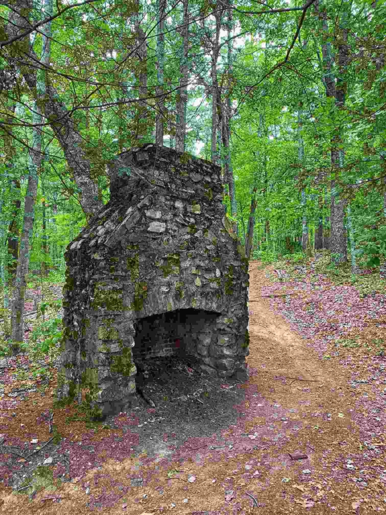
The BCT passes by many historical landmarks as it makes it way from the northern to the southern terminus. This give the trail something extra you don’t get on most other long distance trails.
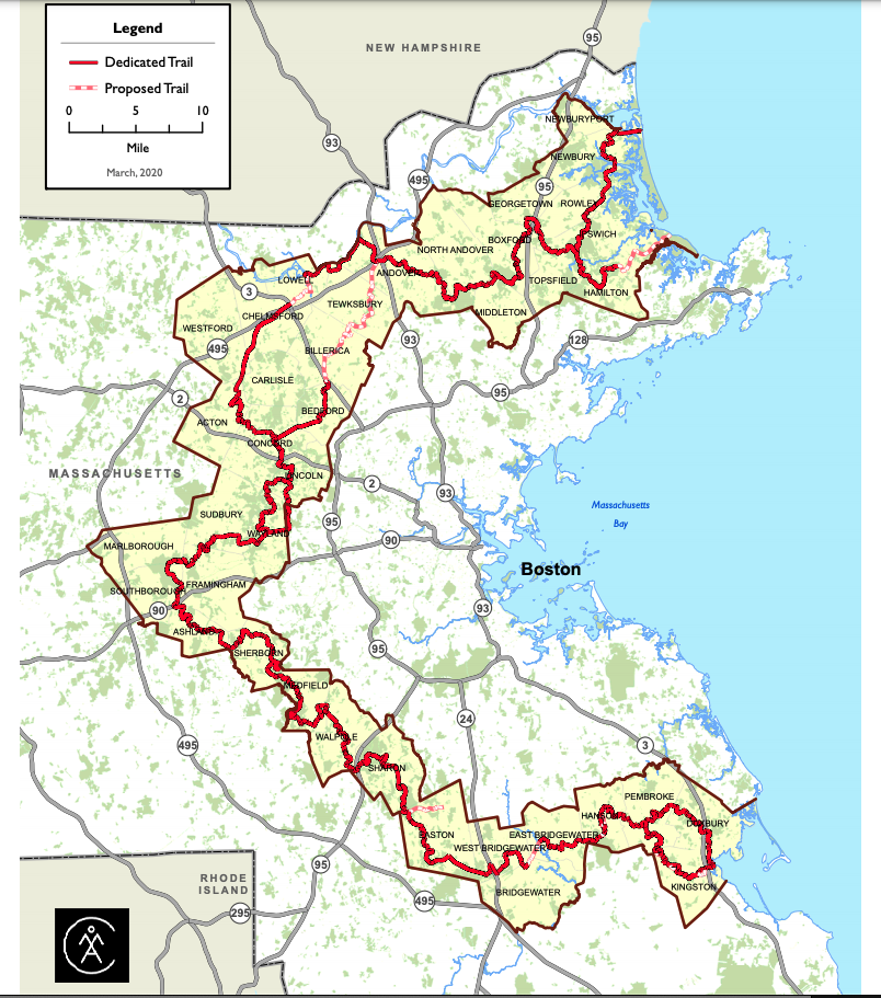
The above is from the Bay Circuit Trail website. It shows the official route. The mountain bike route is slightly different. For an interactive map of the MTB route use the following link.
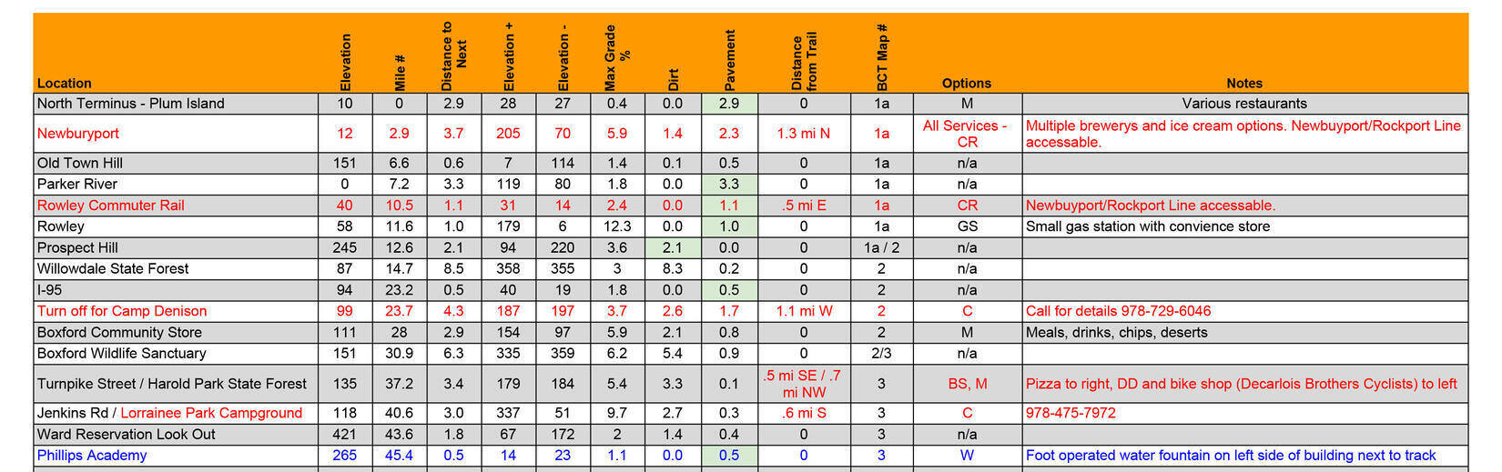
The BCT is more of a plan your own adventure type trail. This is because it has tons of options for starting and ending but on the other hand it lacks places to camp. Your best tool for planning is to take the GPX track and load it into Google, then researching your resupply/overnight stay options. The Ride with GPS link below in the External Resources section shows many of the possible resupply points but not all of them.
The BCT website has an “Explore” section that highlights some of the historical spots along the trail. One might want to explore them and add them to their agenda.
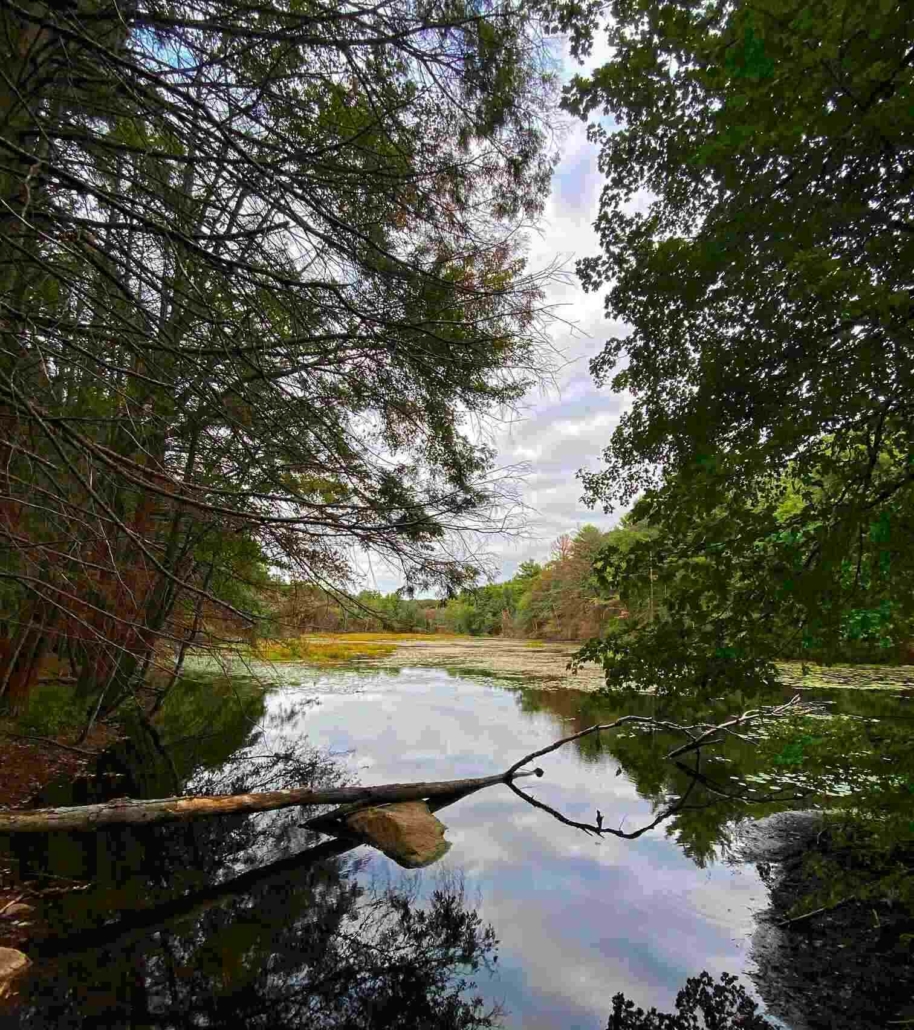
Water is not a major concern on the Bay Circuit Trail. The route pass by many streams, ponds and marshes but if you’re moving at a descent pace you can rely solely on water from restaurants and stores.
Note that the water in many of the natural water sources are not super clear and might not be of the highest quality, (I did ride the route late in the year, so water quality may be better earlier in the season when the flow is higher).
Mile 37 – Decarlois Brothers Cyclists (.5 off route)
Mile 59 – Altas Sports & UMASS Lowell Bike Shop (.4 and 1.2 off route)
Mile 63 – The Bike Shop
Mile 73 – Pedal Power (1.5 off route)
Mile 79 – ATA Cycle (.4 off route)
Mile 95 – Frank’s Spoke’n Wheel
Mile 122 – Steve the Bike Guy & Ride Headquarter (.7 and 1 mile off route)
Mile 200 – Cycle Lodge (.3 miles off route)
Like with water, food is not hard to find along the route. One doesn’t have to carry much with so many chances to resupply along the route. Below is a list of the major towns/food locations.
Mile 25 – Boxford Community Store
Mile 60 – Lowell
Mile 79 – Concord
Mile 91 – Wayland
Mile 96 – Sudbury
Mile 114 Ashland
Mile 133 – Medfield
Mile 146 – Walpole
Mile 177 – West Bridgewater
Mile 190 – Hanson
There are other options to resupply along the route, places like gas stations and convenience stores.
There are multiple towns where the commuter rail runs through them (Newbury Port, Boxford, Lowell, Ashland, Walpole, just to name a few). Map
If one was coming from out of state, they could find rental cars from any of the big companies at Logan International Airport. A better option would be the train or maybe an Uber or Lift, since you wouldn’t be starting and finishing in the same place.
Many of the larger town forest, conversation land, or other green ways have parking at either end. Simple road crossing usually lack any kind of parking. A simple Google search will show you whether or not there’s parking at a certain location.
Since the trail does go through so many areas like the ones listed above, one has endless possibilities to leave cars at two spots and ride any number of sections.
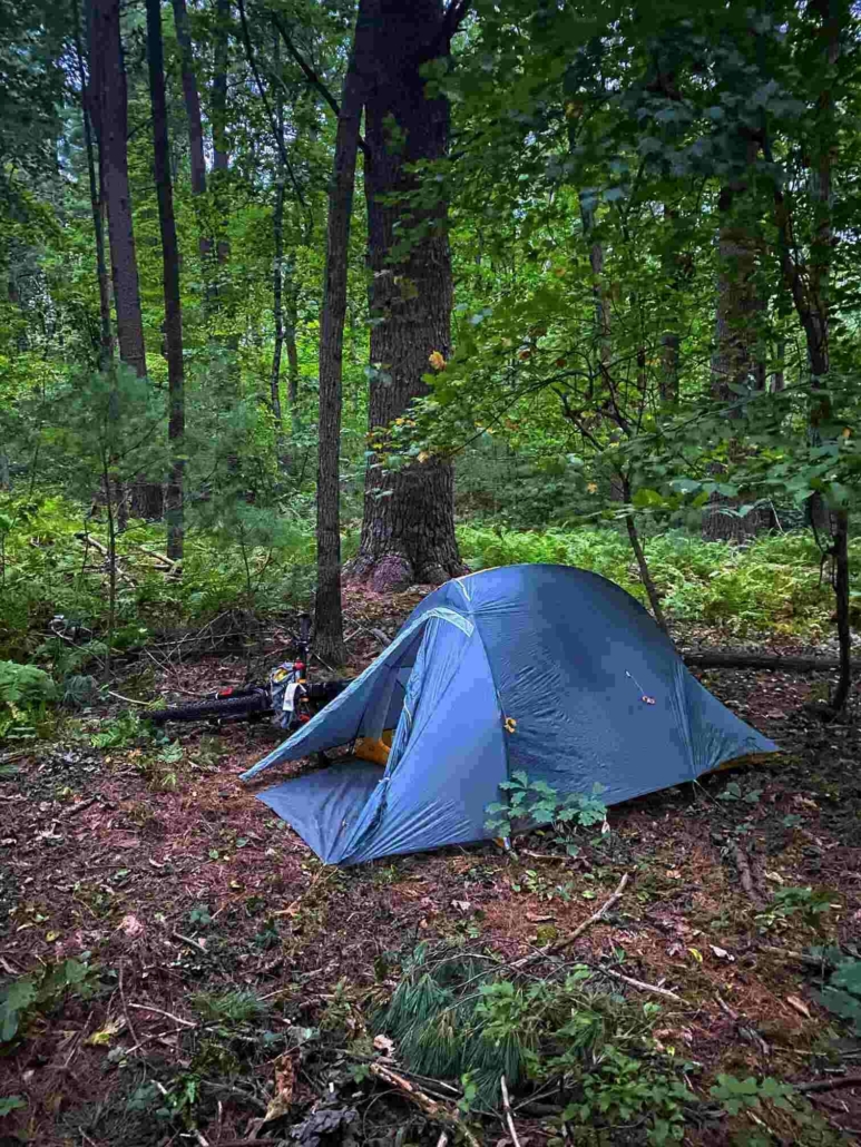
There are not a lot of camping options along the route but here are the ones that are available.
Mile 24 – Camp Denison (off route)
Mile 40 – Lorraine Park Campground (off route)
Mile 72 – Camp Acton
Mile 134 – Rocky Woods Reservation (off route)
Mile 149 – Walpole Town Forest
During my Bikepacking Triple Crown, it became clear bikepacking didn’t have quality planning tools available. As a Triple Crown thru-hiker I’m used to quality planning tools for my trips. The Project’s Bay Circuit Trail Planning Aids and Resources are our answer to this.
After 100’s of hours of research, 1000’s of keystrokes, web surfing, and more emails and phone calls than I can recall the One of Seven Project’s has put together quality planning aids for the Bay Circuit Trail and others. They’re the ultimate planning resources for the Bay Circuit Trail. They contain everything you need to plan and execute your ride of the BCT. If you can’t find what you’re looking for in these then it’s probably in our Bay Circuit Trail Guide.
During my Bikepacking Triple Crown, it became clear bikepacking didn’t have quality planning tools available. As a Triple Crown thru-hiker I’m used to quality planning tools for my trips. The Project’s Bay Circuit Trail Planning Aids and Resources are our answer to this.
After 100’s of hours of research, 1000’s of keystrokes, web surfing, and more emails and phone calls than I can recall the One of Seven Project’s has put together quality planning aids for the Bay Circuit Trail and others. They’re the ultimate planning resources for the Bay Circuit Trail. They contain everything you need to plan and execute your ride of the BCT. If you can’t find what you’re looking for in these then it’s probably in our Bay Circuit Trail Guide.

$25.00 + tax, Purchase here.
$25.00 + tax, Purchase here.
DANGERS & PITFALLS

MAPS / BOOKS / GPX
You can download the GPX track from Ride with GPS.
Read these next or checkout the main resource page.
In depth look at what I would bring for gear and why, if I rode the Tour Divide, CTR, and AZTR again.
 https://oneofsevenproject.com/wp-content/uploads/2021/02/rsz_ce61a8f9-0b12-4e41-b403-e902df8f4593.jpg
857
1493
Craig Fowler
http://oneofsevenproject.com/wp-content/uploads/2017/01/1of7-logo-lockup-grey-1132x212-300x56.png
Craig Fowler2021-02-04 11:44:292024-06-20 13:25:55Bikepacking - How to Care for Your Butt
https://oneofsevenproject.com/wp-content/uploads/2021/02/rsz_ce61a8f9-0b12-4e41-b403-e902df8f4593.jpg
857
1493
Craig Fowler
http://oneofsevenproject.com/wp-content/uploads/2017/01/1of7-logo-lockup-grey-1132x212-300x56.png
Craig Fowler2021-02-04 11:44:292024-06-20 13:25:55Bikepacking - How to Care for Your Butt https://oneofsevenproject.com/wp-content/uploads/2020/04/rsz_untitled_design_81.jpg
857
1493
Craig Fowler
http://oneofsevenproject.com/wp-content/uploads/2017/01/1of7-logo-lockup-grey-1132x212-300x56.png
Craig Fowler2020-05-19 10:09:312024-06-20 13:27:05Most Common Bikepacking Injuries
https://oneofsevenproject.com/wp-content/uploads/2020/04/rsz_untitled_design_81.jpg
857
1493
Craig Fowler
http://oneofsevenproject.com/wp-content/uploads/2017/01/1of7-logo-lockup-grey-1132x212-300x56.png
Craig Fowler2020-05-19 10:09:312024-06-20 13:27:05Most Common Bikepacking Injuries https://oneofsevenproject.com/wp-content/uploads/2018/11/Untitled-design-9.jpg
857
1493
Craig Fowler
http://oneofsevenproject.com/wp-content/uploads/2017/01/1of7-logo-lockup-grey-1132x212-300x56.png
Craig Fowler2020-03-06 13:25:442024-07-25 13:34:21Tour Divide Gear: What Worked Well and What’s Even Better
https://oneofsevenproject.com/wp-content/uploads/2018/11/Untitled-design-9.jpg
857
1493
Craig Fowler
http://oneofsevenproject.com/wp-content/uploads/2017/01/1of7-logo-lockup-grey-1132x212-300x56.png
Craig Fowler2020-03-06 13:25:442024-07-25 13:34:21Tour Divide Gear: What Worked Well and What’s Even Better https://oneofsevenproject.com/wp-content/uploads/2019/07/rsz_img_4494.jpg
857
1493
Craig Fowler
http://oneofsevenproject.com/wp-content/uploads/2017/01/1of7-logo-lockup-grey-1132x212-300x56.png
Craig Fowler2019-07-05 10:28:362024-06-20 13:28:04The Shakedown Ride
https://oneofsevenproject.com/wp-content/uploads/2019/07/rsz_img_4494.jpg
857
1493
Craig Fowler
http://oneofsevenproject.com/wp-content/uploads/2017/01/1of7-logo-lockup-grey-1132x212-300x56.png
Craig Fowler2019-07-05 10:28:362024-06-20 13:28:04The Shakedown Ride https://oneofsevenproject.com/wp-content/uploads/2019/05/rsz_1img_5506.jpg
857
1440
Craig Fowler
http://oneofsevenproject.com/wp-content/uploads/2017/01/1of7-logo-lockup-grey-1132x212-300x56.png
Craig Fowler2019-05-17 09:29:522024-06-20 13:28:54Most Common Mistakes Bikepackers Make
https://oneofsevenproject.com/wp-content/uploads/2019/05/rsz_1img_5506.jpg
857
1440
Craig Fowler
http://oneofsevenproject.com/wp-content/uploads/2017/01/1of7-logo-lockup-grey-1132x212-300x56.png
Craig Fowler2019-05-17 09:29:522024-06-20 13:28:54Most Common Mistakes Bikepackers Make https://oneofsevenproject.com/wp-content/uploads/2018/11/Untitled-design-23-e1542400026690.jpg
857
1493
Craig Fowler
http://oneofsevenproject.com/wp-content/uploads/2017/01/1of7-logo-lockup-grey-1132x212-300x56.png
Craig Fowler2018-03-07 15:14:332024-07-12 13:36:57Bikepacking Navigation
https://oneofsevenproject.com/wp-content/uploads/2018/11/Untitled-design-23-e1542400026690.jpg
857
1493
Craig Fowler
http://oneofsevenproject.com/wp-content/uploads/2017/01/1of7-logo-lockup-grey-1132x212-300x56.png
Craig Fowler2018-03-07 15:14:332024-07-12 13:36:57Bikepacking Navigation




Simply clicking on the links below with our affiliates supports the Project.
Or checkout our Deals page to save big!