As an affiliate partner, One of Seven Project earns a commission for purchases made through any product, brand logo links, or banner ads on this page. Thanks for your support!

When it comes to Resupplying on the Arizona Trail and setting up an Itinerarythere are no short cuts. The more information you have at your finger tips the better your chances are you’ll finish your AZT thru-bike. Trust me when I say don’t let the lack of proper planning keep you from finishing your goal. It’s my hope the information on this page and accompanying pages will help ensure your success.
Whether you’re riding the AZT300/800 or touring you need a plan when it comes to where to find water and food. My options for resupplying on the Arizona Trail came from the Farout app (Atlas Guides) and two very helpful individuals who knew the trail very well.
Now that I’ve done the trail and saw the need for a detailed resource, you have the option of using The Project’s AZT Planning Aids.
Shopping with our affiliates helps fund the development of content like this.
Knowing where to find food is key when racing/touring the AZT. A day didn’t go by that I didn’t use my own simplified version of a planning aid. Today the BEST tool you can use is our AZT Planning Aids. Unlike gear, too much information won’t weigh you down. Knowing where you can find food and the distance between sources is key to keeping your tank full so you don’t run out of energy.
If you’ve done any bikepack racing or touring you know that things can get physically tough out there. But they can also get mentally tough too. When we get tired even our minds slip and mistakes or bad decisions happen. Have your resupply information organized and written down so it’s easy to digest. You want to be able to understand it without having to think too much.
I never had any issues resupplying on the Arizona Trail (AZT) with the options available to me on the trail. If you do your homework you shouldn’t either. My only issue was having enough space to fit the food. Consequently, the furtherest I went without a resupply was 106 miles from Pine to Flagstaff. Even still I rolled into Flagstaff with left over food. I can only suggest you make sure your set up offers ample storage.
You can find more information on what services are available in the towns on both the Arizona Trail Association website and the Farout App. But not to repeat myself both are great resources, but there are some pitfalls as mentioned below in the Pro Tip, in the water section.
The above maps are meant to compliment our Planning Aids, and help riders plan their resupply before they leave and while on trail. You can also use them as GPX back ups on your phone.

The spreed sheets above are available on Google Docs, Please go to “Edit”, then select, ” Copy”. When pasting use Control(Command) – Shift – Paste or it won’t work. You’ll have to adjust column sizes. Then make all the changes you like! Happy planning and trails.
Where to ship your Grand Canyon gear.
[Your Name]
General Delivery
Grand Canyon, AZ 86023
Post Office hours are: M-F 8:30 – 4pm
The PO is located at: 100 Mather Business Ctr, Grand Canyon Village, AZ 86023 next to the Canyon Village Market and Chase Bank.
Being that I’m also a Triple Crown thru-hiker I’m used to quality planning tools. After finishing the Bikepacking Triple Crown I realized bikepacking didn’t have quality planning tools available. The Project’s Planning Aids and Resources are our answer to this.
After 100’s of hours of research, 1000’s of keystrokes, more emails and phone calls than I can recall the One of Seven Project’s Arizona Trail Race Planning Aids are done. They’re the ultimate planning resources for the Arizona Trail Race. They contain everything you need to plan and execute your race/ride of the AZTR. If you can’t find what you’re looking for in these then it’s probably in our Arizona Trail Resources.


One package including our two most popular planning aids.


One package including all of our planning aids.
ONLY Available in NOBO version and ONLY in US Standard units.
Small Bundle – $40.00 + tax (CO only) *You save $10 when you bundle!
Big Bundle – $60.00 + tax (CO only) *You save $20 when you bundle!


Gives you the most information of any planning aid.


Town List available ONLY as part of the Small or Big Bundle.
Data Sheet includes:
Town List includes:
All versions of the Town Lists are ONLY available as part of the Small or Big Bundles.
ONLY Available in NOBO versions and ONLY in US Standard units.
Data Sheet – $25 + Tax (CO only)
Example of Data Sheet
Example of Town List


DATA SHEET and TOWN LIST DIFFERENCES
The Data Sheet has the most info. It gives the distance, elevation +/-, average grade, maximum and minimum elevations, pavement sections, references ACA maps, bike shops, resupply options, and has key notes between two POI. Example: A and B, then B to C, and so on.
The Town List gives cumulative distances between POI. Example: A to B, A to C, A to D. The next section would be B to C, B to D, B to E, and so on. The Town List has distance, elevation +/-, resupply options, bike shops and key notes.
The Town List helps with not having to do the math to figure out how far away things are if they’re not the next POI.


Quickly find the total mileage between any two POI along the route.


Quickly find the total elevation gain between any two POI along the route.
The Mileage and Elevation Gain Charts are ONLY available as part of the Big Bundle.
Example of Mileage Chart
Example of Elevation Gain Chart


Water is your life line when in desert areas like the one the AZT travels through. With proper planning and using one’s head, finding enough water is possible on the AZT. The first and most important thing is to ensure you have the ability to carry enough for the longest dry stretch. You can’t drink what you can’t carry.
Do your homework and research where the water sources are. More importantly, know where there isn’t water so you can plan ahead and stock up before you get to these areas. Don’t forget the electrolytes too.
If you purchase our Data Sheet or Town List, most of the reliable water sources are listed. There are many more seasonal water sources and cattle tanks located between the sources listed on those two sheets. They can be found on the Arizona Trail Associations online water report, by using GAIA, and the Far0ut App. They are amazing resources and shouldn’t be overlooked, but there are some pitfalls (see tip below).
My water capacity was five liters. IMO you should have at least six. But how much you carry and where you get your water is ultimately up to you.
Next time I would have a larger fanny pack or slightly wide frame bag. Lastly, be sure to test your set up with full water, gear, and food before you go. I would use the Data Sheet and the Farout App together.

Keep in mind the towns listed on the ATA website represents the hiking route and the bike route on Farout is different from the official route. So if you look at a list on either you have to make sure it’s on the actual route and also adjust the mileage.
The Project conducts an ongoing rider survey to help new riders try to figure out what gear to use during the Arizona Trail Race. Undertaking a ride/adventure like the AZTR can be very intimidating and the planning can be overwhelming. It’s our hope this survey will help new riders with their planning and execution of their AZTR, as well as help ensure riders are more properly prepared for their adventure.
***Please pay attention to the examples for the questions where you have to type in your answer. If answers are not entered EXACTLY like the example I have to go in and correct them and it also throws off the results. Thanks in advance!

Covers: bikes, suspension, tires & wheels, drivetrain, and Components.
Covers: navigation planning, camping, logistic/travel, clothes, and more.
Read these next.
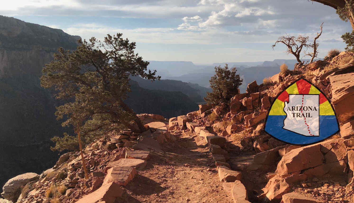
Your ultimate bikepacking guide to the AZT300/800.
 https://oneofsevenproject.com/wp-content/uploads/2018/11/Untitled-design-19.jpg
857
1493
Craig Fowler
http://oneofsevenproject.com/wp-content/uploads/2017/01/1of7-logo-lockup-grey-1132x212-300x56.png
Craig Fowler2020-04-01 08:07:052024-06-20 08:55:35Gear Review - If I Rode the Arizona Trail Race Again
https://oneofsevenproject.com/wp-content/uploads/2018/11/Untitled-design-19.jpg
857
1493
Craig Fowler
http://oneofsevenproject.com/wp-content/uploads/2017/01/1of7-logo-lockup-grey-1132x212-300x56.png
Craig Fowler2020-04-01 08:07:052024-06-20 08:55:35Gear Review - If I Rode the Arizona Trail Race Again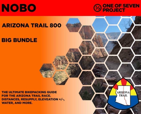 https://oneofsevenproject.com/wp-content/uploads/2020/03/rsz_2024_azt800_bb_10-01.jpg
1276
1651
Craig Fowler
http://oneofsevenproject.com/wp-content/uploads/2017/01/1of7-logo-lockup-grey-1132x212-300x56.png
Craig Fowler2020-03-06 19:57:332024-06-20 08:56:35Arizona Trail Planning Aids
https://oneofsevenproject.com/wp-content/uploads/2020/03/rsz_2024_azt800_bb_10-01.jpg
1276
1651
Craig Fowler
http://oneofsevenproject.com/wp-content/uploads/2017/01/1of7-logo-lockup-grey-1132x212-300x56.png
Craig Fowler2020-03-06 19:57:332024-06-20 08:56:35Arizona Trail Planning Aids https://oneofsevenproject.com/wp-content/uploads/2018/11/Untitled-design-16-1.jpg
857
1493
Craig Fowler
http://oneofsevenproject.com/wp-content/uploads/2017/01/1of7-logo-lockup-grey-1132x212-300x56.png
Craig Fowler2019-05-17 22:59:342024-07-24 09:25:10Ultimate Arizona Trail Bikepacking Planning Guide
https://oneofsevenproject.com/wp-content/uploads/2018/11/Untitled-design-16-1.jpg
857
1493
Craig Fowler
http://oneofsevenproject.com/wp-content/uploads/2017/01/1of7-logo-lockup-grey-1132x212-300x56.png
Craig Fowler2019-05-17 22:59:342024-07-24 09:25:10Ultimate Arizona Trail Bikepacking Planning Guide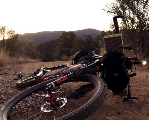 https://oneofsevenproject.com/wp-content/uploads/2018/11/philipinrepose-oneofsevenproject.jpg
857
1493
Craig Fowler
http://oneofsevenproject.com/wp-content/uploads/2017/01/1of7-logo-lockup-grey-1132x212-300x56.png
Craig Fowler2019-05-16 04:09:002024-07-24 10:12:23Arizona Trail Transportation Guide
https://oneofsevenproject.com/wp-content/uploads/2018/11/philipinrepose-oneofsevenproject.jpg
857
1493
Craig Fowler
http://oneofsevenproject.com/wp-content/uploads/2017/01/1of7-logo-lockup-grey-1132x212-300x56.png
Craig Fowler2019-05-16 04:09:002024-07-24 10:12:23Arizona Trail Transportation Guide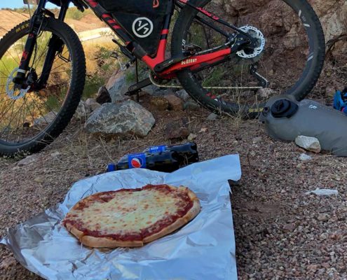 https://oneofsevenproject.com/wp-content/uploads/2018/02/pizza-dinnerofchampions.jpg
857
1493
Craig Fowler
http://oneofsevenproject.com/wp-content/uploads/2017/01/1of7-logo-lockup-grey-1132x212-300x56.png
Craig Fowler2019-05-16 04:07:562024-07-24 11:54:08Arizona Trail Resupply Guide
https://oneofsevenproject.com/wp-content/uploads/2018/02/pizza-dinnerofchampions.jpg
857
1493
Craig Fowler
http://oneofsevenproject.com/wp-content/uploads/2017/01/1of7-logo-lockup-grey-1132x212-300x56.png
Craig Fowler2019-05-16 04:07:562024-07-24 11:54:08Arizona Trail Resupply Guide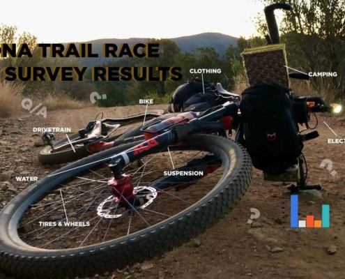 https://oneofsevenproject.com/wp-content/uploads/2019/05/rsz_1aztr_sr_cover_copy-1.jpg
857
1493
Craig Fowler
http://oneofsevenproject.com/wp-content/uploads/2017/01/1of7-logo-lockup-grey-1132x212-300x56.png
Craig Fowler2019-05-09 11:59:202024-06-20 09:05:42Arizona Trail Rider Survey Results
https://oneofsevenproject.com/wp-content/uploads/2019/05/rsz_1aztr_sr_cover_copy-1.jpg
857
1493
Craig Fowler
http://oneofsevenproject.com/wp-content/uploads/2017/01/1of7-logo-lockup-grey-1132x212-300x56.png
Craig Fowler2019-05-09 11:59:202024-06-20 09:05:42Arizona Trail Rider Survey Results


Simply clicking on the links below with our affiliates supports the Project.
Or checkout our Deals page to save big!


