Colorado Trail Resupply Guide: Essential Food and Water Planning for Your Journey

Planning your resupply strategy is a crucial step in preparing for the Colorado Trail Race, and this Colorado Trail Resupply Guide is here to make it easier. With the support of the Colorado Trail Planning Aids, you’ll have access to detailed information about food resupply points, water sources, and logistical strategies tailored to the unique challenges of the trail. While the Colorado Trail offers relatively straightforward access to resources, remote stretches—like the 181 miles between Silverton and Mt. Princeton Hot Springs—require careful planning. Let this Colorado Trail Resupply Guide and our comprehensive planning aids simplify your preparation and ensure you’re ready for a successful adventure.

As an affiliate partner, One of Seven Project earns a commission for purchases made through any product, brand logo links, or banner ads on this page. Thanks for your support!

  • SPOT llc ad

Save big and support The Project at the same time! Check out our Affiliate Deals page for exclusive offers on top brands. Every purchase fuels our mission to provide you with the best guides and resources for your adventures. Bookmark it now and shop smarter—deals update regularly!

The race is usually on the second Sunday of August at 4 am.

TOWN RESUPPLY OPTIONS

Colorado Trail Resupply Guide

This guide provides essential information on food resupply points, meal planning, and strategies to ensure you stay well-nourished on your journey from Denver to Durango, Colorado. Proper nutrition is critical for maintaining energy and stamina throughout the challenging Colorado Trail Race (CTR). Knowing where to find food and how to manage your supplies can significantly impact your CTR experience. Use our Colorado Trail planning aids to enhance your preparation and ensure you have all the necessary information for a successful ride.

Key Areas with Limited Food Availability

While the Colorado Trail Race route includes several towns and resupply points, certain sections have sparse food options. Here are some key areas where you need to be particularly prepared:

  1. Silverton to Mt. Princeton Hot Springs:
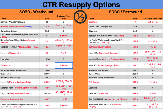
    This segment is around 181 miles with only one resupply option. Silverton and Mt. Princeton Hot Springs are the primary on-trail resupply points. However, there are six additional off-trail resupply options within this stretch. Most of these off-trail options involve many extra miles and thousands of feet of elevation loss, making them less ideal. For those touring who don’t want to carry extensive food supplies, these off-trail resupplies might be necessary despite the added challenge.
  2. NOBO (Northbound) Challenges:
    Northbound riders looking to reach Silverton before stores close have to cover approximately 85 miles and 15k of climbing. It’s crucial to plan your pace and energy output to ensure you arrive during business hours for resupply.
  3. SOBO (Southbound) Challenges:
    Southbound riders face a significant push of 145 miles to reach Route 9 in Breckenridge, the first on-trail resupply point other than Stage Stop Saloon which is just a bar. Proper planning and rationing of food supplies are essential to avoid running out before reaching this point.

Planning Your Food Strategy

To effectively manage your food needs on the Colorado Trail Race (CTR), consider the following tips:

  • Research Resupply Points: Use the detailed information in our Colorado Trail Planning Aids to identify towns and stores along the route where you can restock your supplies. Knowing where and when to resupply can help you avoid running low on food.
  • Stock Up Early: Ensure you carry enough non-perishable, high-calorie foods when starting from Denver or Durango, depending on your direction and time goals.
  • Plan for Off-Trail Resupplies: If you plan to use off-trail resupply points, map out the additional distances and elevation changes to incorporate them into your decision process.
  • Timing is Crucial: For NOBO riders, timing your arrival in Silverton is critical. For SOBO riders, prepare for the long stretch to Breckenridge with sufficient food supplies.
  • Pack Efficiently: Prioritize foods that are lightweight, non-perishable, and high in calories. Proper packing can help you make the most of your limited storage space.
  • Stay Flexible: Since many resupply locations are small and offer limited healthy options, be prepared to adjust your food strategy based on availability and conditions. Carry extra snacks for emergencies and be adaptable if your planned resupply point is closed or out of stock.

Meal Planning and Resupply Tips

Effective meal planning for the Colorado Trail Race involves balancing convenience, nutritional value, and weight. Here are some tips and strategies to ensure you stay well-nourished throughout your journey:

  • High-Calorie, Lightweight Foods: Opt for foods that provide a high calorie-to-weight ratio. Nuts, dehydrated meals, energy bars, and jerky are excellent choices. Pack efficient, lightweight, and non-perishable items to make the most of your limited storage space.
  • Regular Resupply: Plan to restock your food supplies at major towns along the route. Use our Colorado Trail Planning Aids to identify key resupply points and avoid running low on food. Research and plan your stops in advance to ensure you have access to necessary supplies.
  • Variety: Incorporate a variety of foods to prevent menu fatigue and ensure a balanced diet. Include sources of protein, carbohydrates, and fats. Mixing up your meals can help maintain morale and energy levels.
  • Meal Frequency: Eating small, frequent meals can help maintain energy levels throughout the day. Snacking regularly and having more substantial meals at resupply points can keep you fueled and prevent energy dips.
  • Cooking vs. Non-Cooking: While some riders carry small stoves for cooking, most rely on ready-to-eat foods to save time and reduce the need for additional gear.

By following these tips and utilizing our Colorado Trail Planning Aids, you can effectively manage your food supplies and stay well-nourished on your Colorado Trail Race adventure. Proper meal planning and resupply strategies are crucial for maintaining energy and stamina throughout this challenging route.

COLORADO TRAIL RACE PLANNING AIDS

Colorado Trail Resupply Guide

Welcome to The Project’s Colorado Trail Race Planning Aids, designed to bridge the gap left by the lack of high-quality planning tools within bikepacking. As a Triple Crown thru-hiker, I’m accustomed to comprehensive planning resources, and I noticed that bikepacking needed similar quality tools. That’s why I developed these resources to make your Colorado Trail adventure as smooth and well-prepared as possible.
Our planning aids include four distinct styles to help you plan your ride:

  • The Data Sheet: Offers the most detailed information, including distance, elevation +/-, resupply options, notes and more for key POI.
  • Town List: provides cumulative distances between POI, and does the math so you don’t have to.
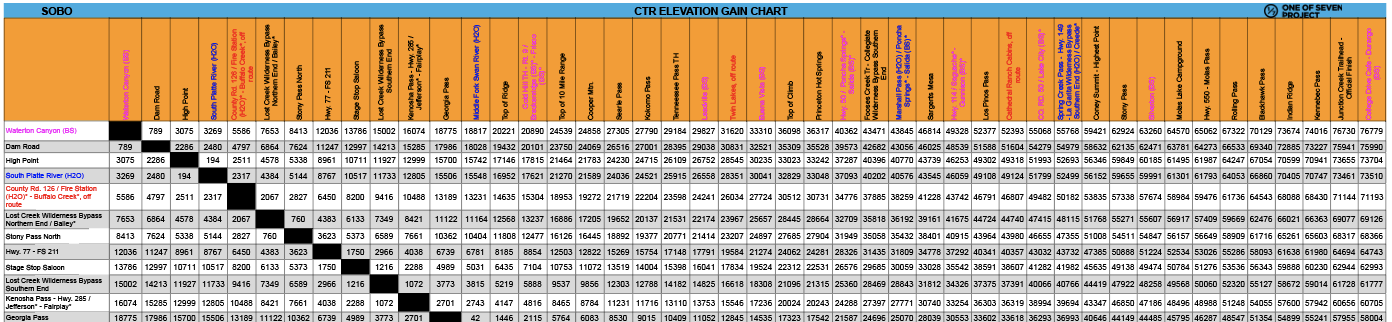
  • Mileage Chart and Elevation Gain Chart: are simple graphs showing cumulative mileage and elevation gain between POI.

Additional Resources

  • Why Use Our Planning Aids: Check out the “Why Choose Our Planning Aids” tab below for an in-depth explanation of their value, including how they simplify preparation, save time, and provide clarity bikepacking adventures and racing.
  • Tour Divide Maps: Explore our companion Ride with GPS maps section below, to visualize the route, identify POIs, and download files for offline navigation.

Explore our offerings to find the perfect combination for your needs and get ready to conquer the Tour Divide! Don’t forget to checkout our online Colorado Trail Race Resources as well.

IMPORTANT NOTES:

  • The race runs southbound/westbound on years ending in an even number and those planning aids have a BLUE band.
  • The race runs northbound/eastbound on years ending in an odd number and those planning aids have an RED band.
  • All planning aids are based off the 10k GPX file.

BUNDLES

Small Bundles:

Big Bundles:

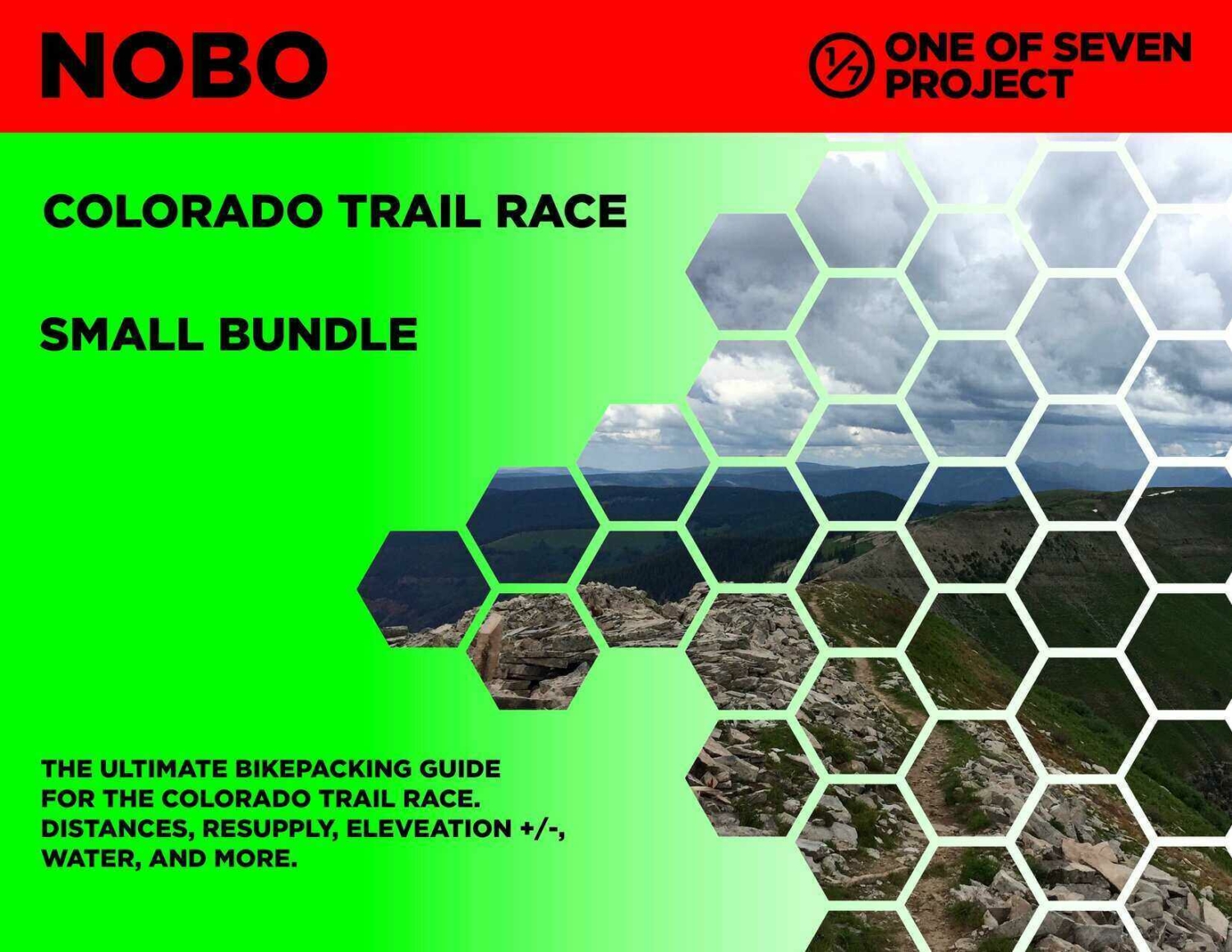
The Small Bundle includes our two most popular planning aids, giving bikepackers essential route data in a streamlined format. With key logistics, cumulative mileage, and resupply details at your fingertips, this bundle simplifies planning and keeps you focused on the ride.

  • Data Sheet – The most comprehensive planning tool, packed with mileage, elevation gain/loss, resupply points, and key logistics.
  • Town List – Cumulative mileage and elevation gain between POIs, helping track progress and plan stops efficiently.

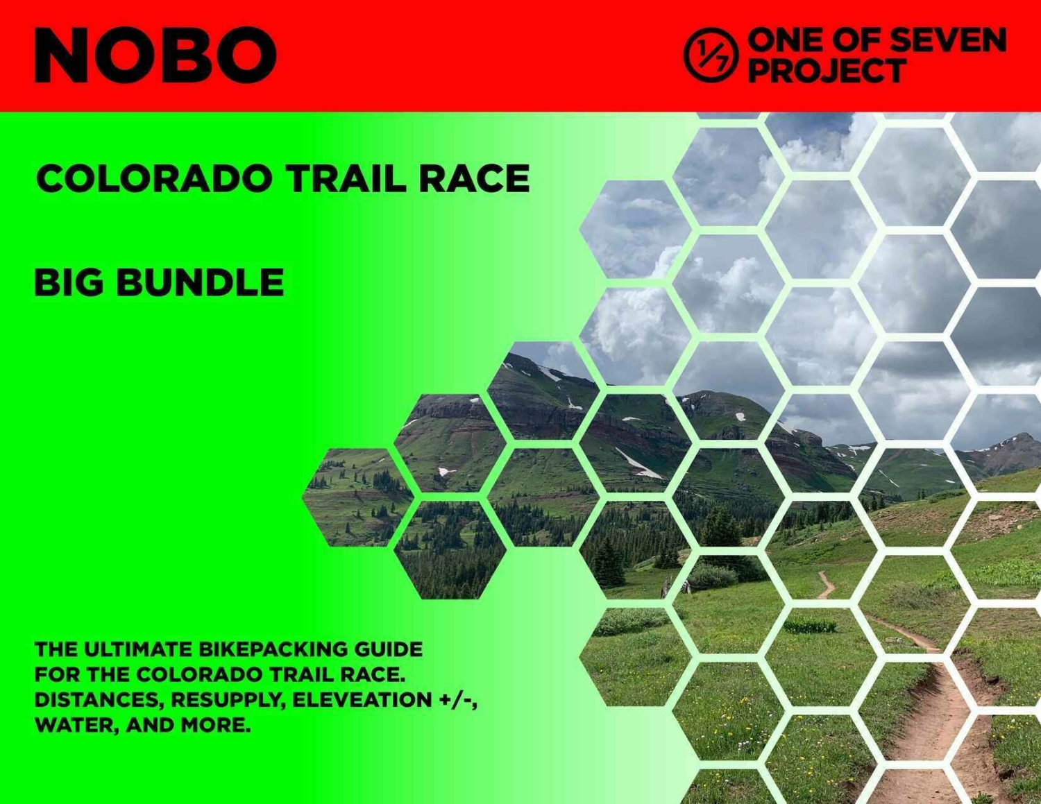
The Big Bundle provides the most complete set of planning tools, ensuring you have everything needed to plan effectively and ride with confidence.

  • Data Sheet – Detailed mileage, elevation, and resupply information for comprehensive planning.
  • Town List – Cumulative distance and elevation tracking for easy route management.
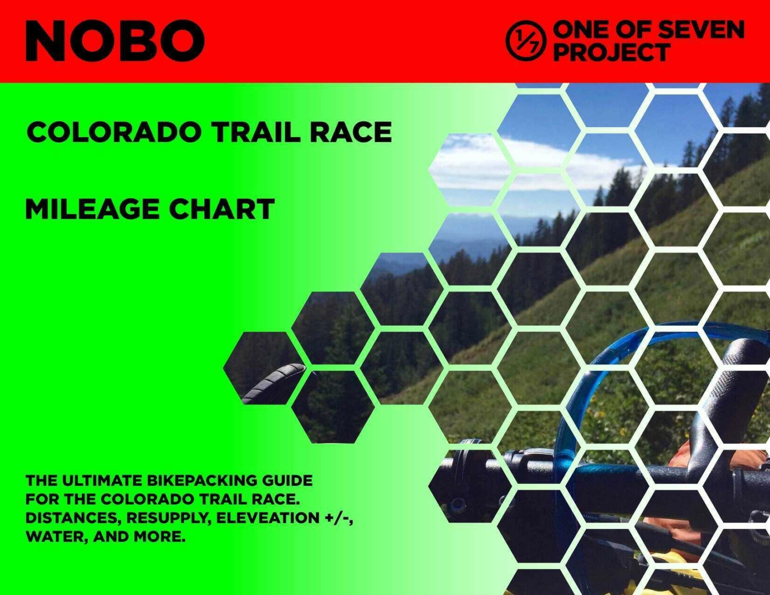
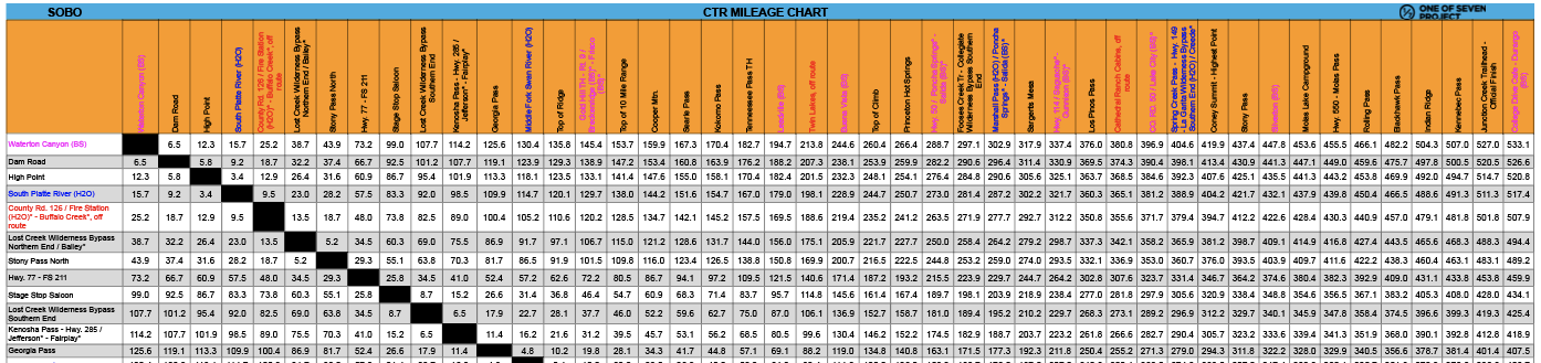
  • Mileage Chart – Quick-reference breakdown of distances between key points.
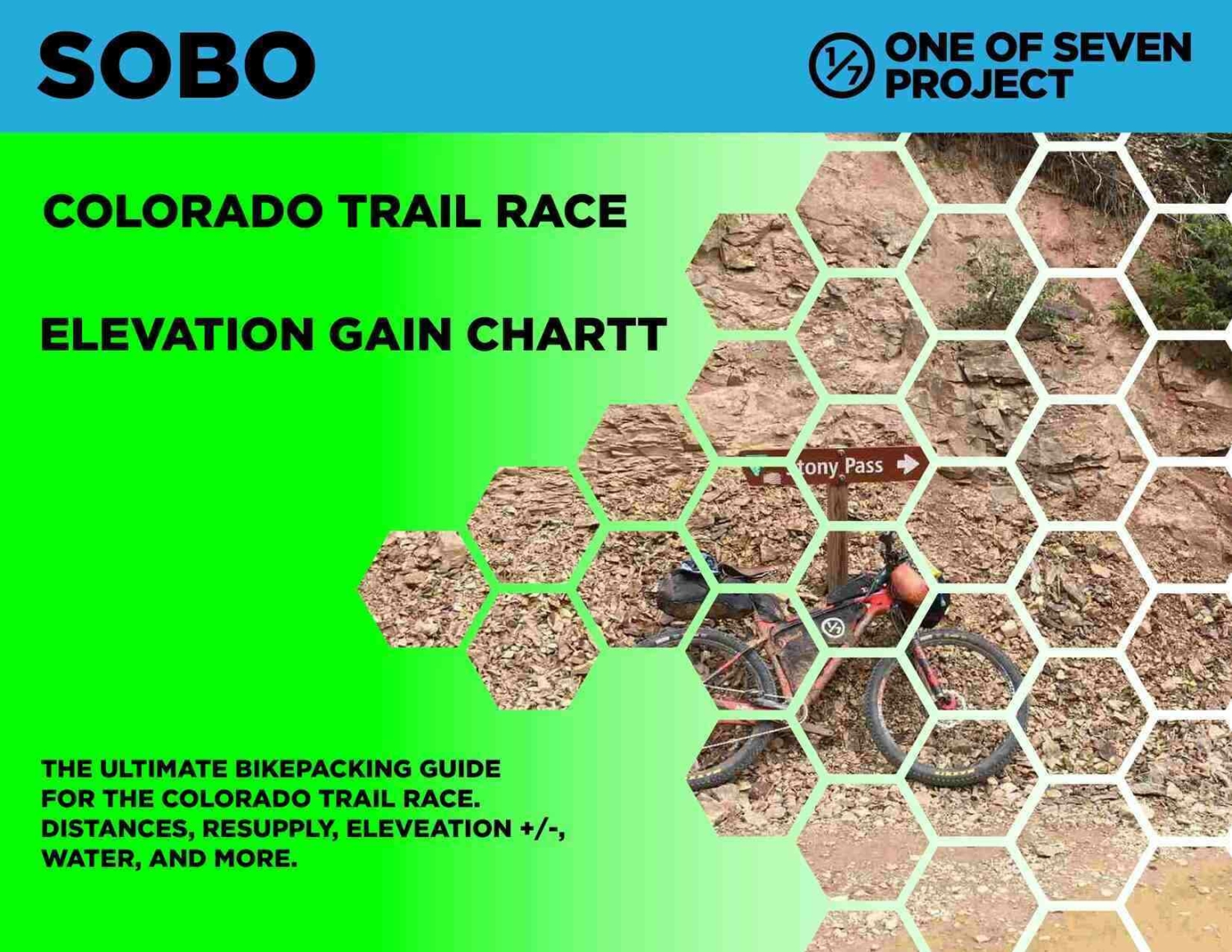
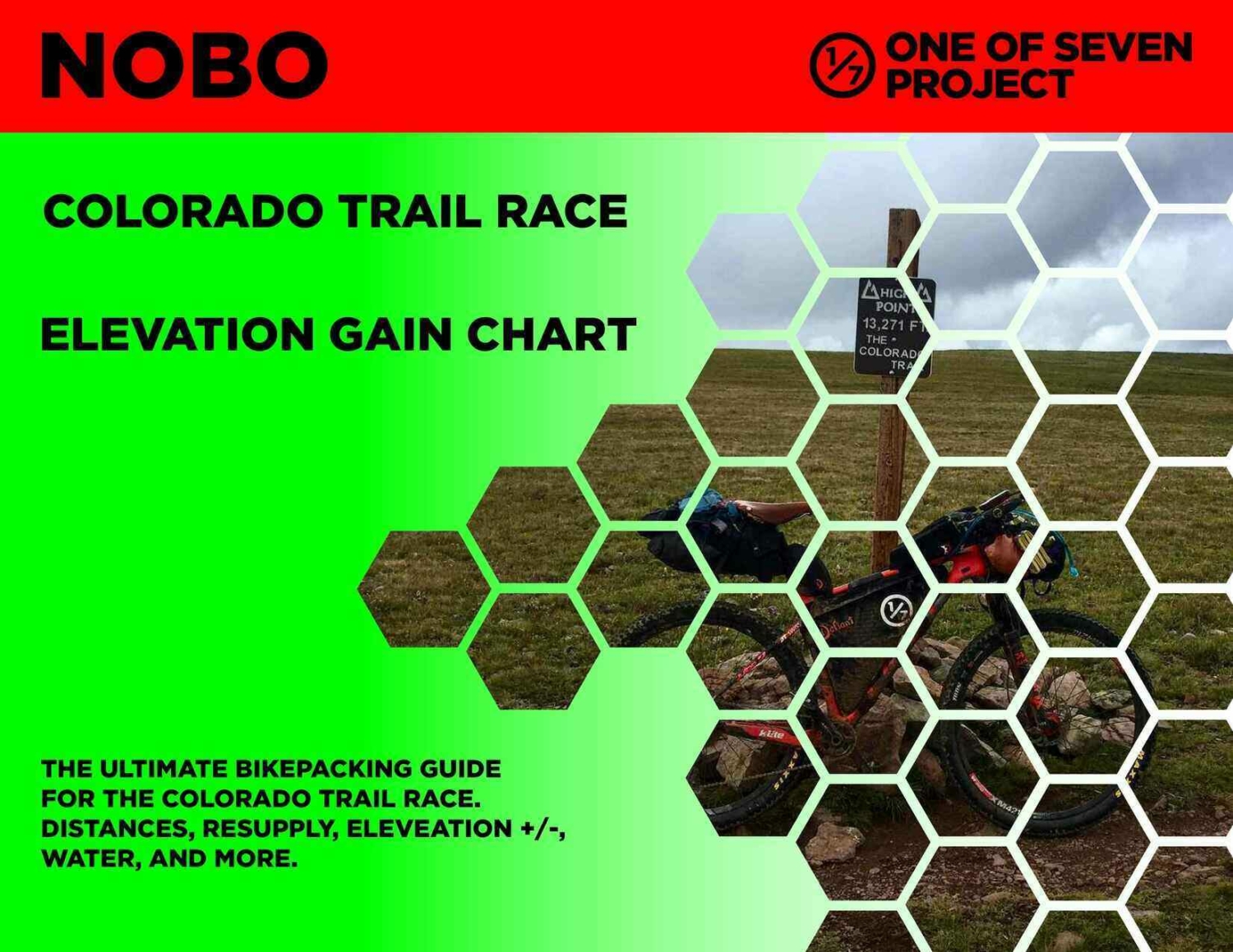
  • Elevation Gain Chart – Clear elevation changes to help anticipate climbs and descents.

Available in both SOBO and NOBO versions and ONLY in US Standard units.

Small Bundle – $40.00  *You save $10 when you bundle!

Big Bundle – $60.00  *You save $20 when you bundle!

DATA SHEETS / TOWN LISTS

Data Sheets:

Town Lists:

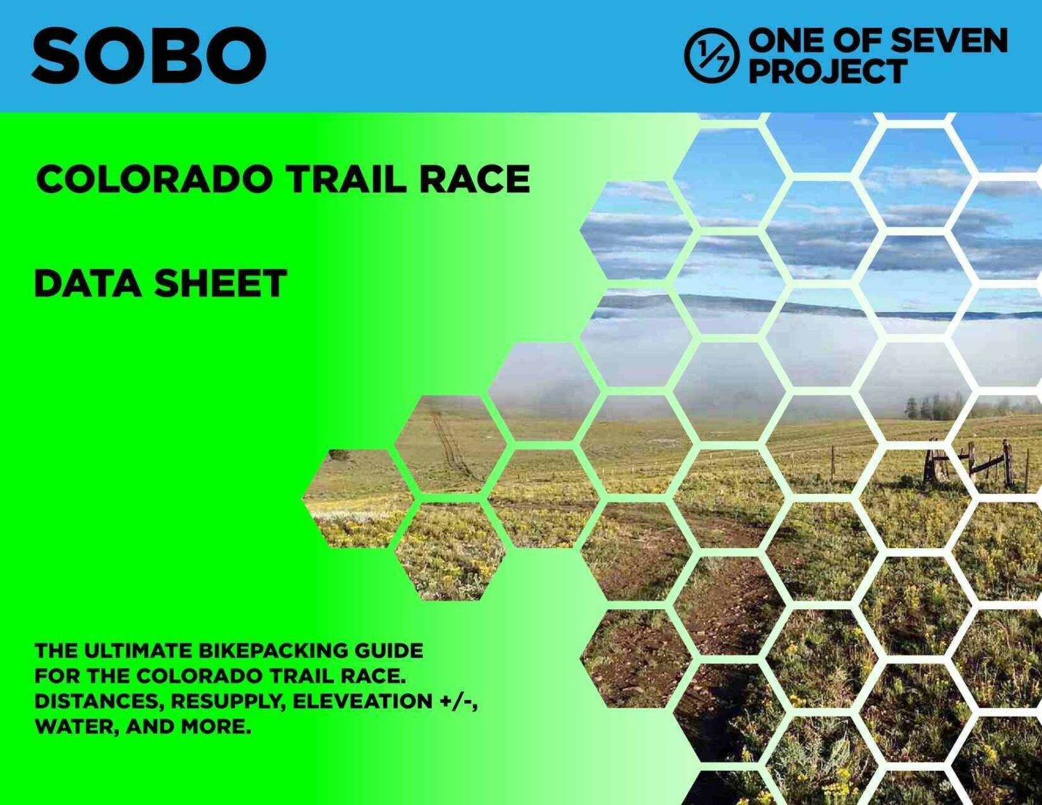
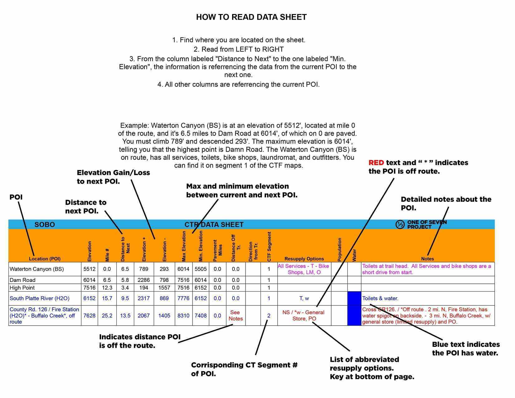
The Data Sheet is our most comprehensive planning tool, packed with detailed route data, including mileage, elevation gain/loss, resupply points, key logistics, and more to support every aspect of your ride. Designed to be the ultimate resupply tool, it ensures bikepackers have the critical information needed to plan their route efficiently and make informed decisions on the go.

  • Key POI.
  • Elevation / Pop of POI.
  • Mileage numbers.
  • Distance to next.
  • Elevation +/-.
  • Max & Min. elevation between POI.
  • Pavement sections.
  • Key water sources.
  • Shows bike shops.
  • Resupply options.
  • Important notes.
  • Elevation profile.
  • Finish Target Times.

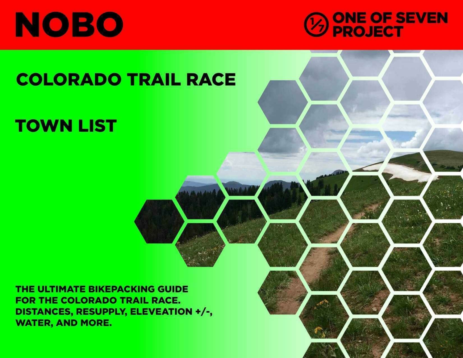
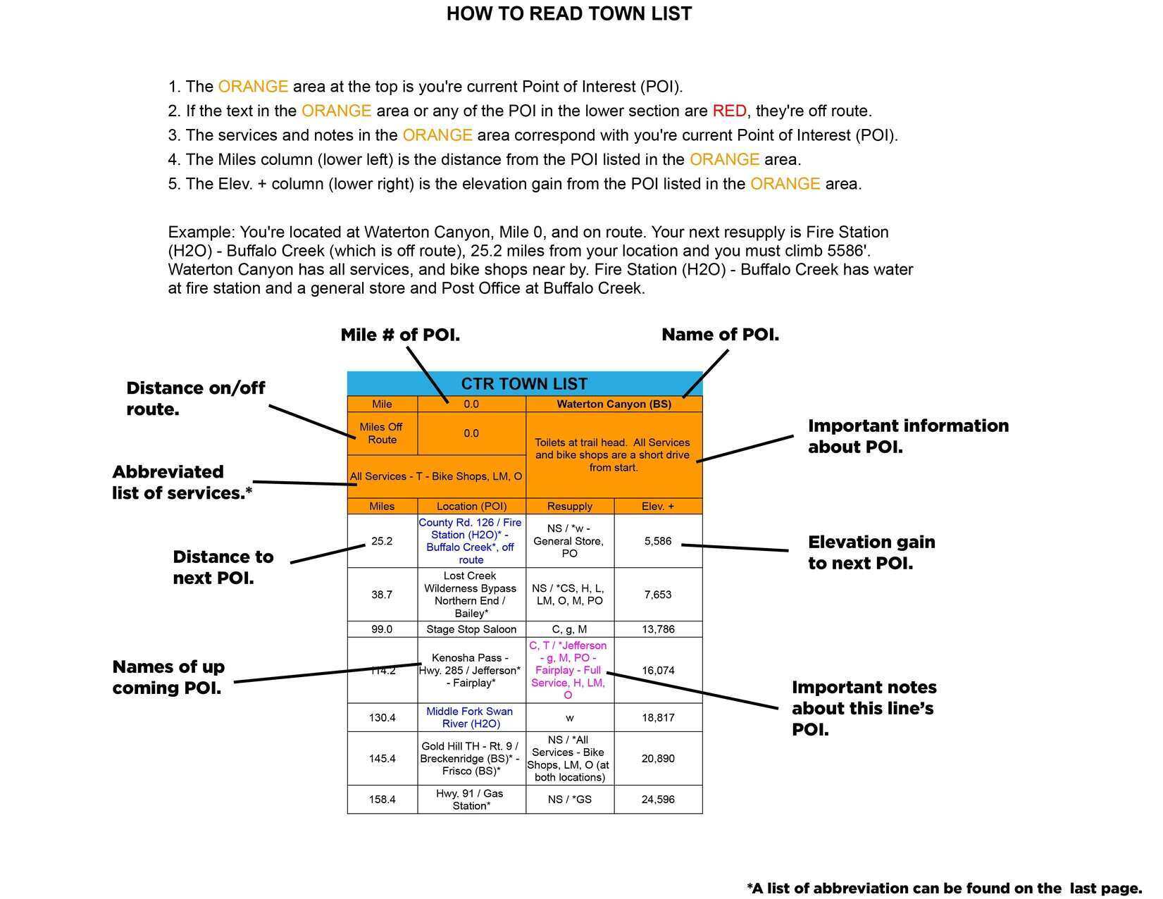
The Town List provides cumulative distances and elevation gain between multiple POIs, helping bikepackers track progress and plan resupply stops with ease. By doing the math for you, it saves time and lets you focus on the ride.

  • Key POI.
  • Mileage.
  • Distance on/off trail.
  • Important notes about POI.
  • Cumulative distances to up coming POI.
  • Elevation Gain to reach up coming POI.
  • Key water sources.
  • Shows bike shops.
  • Finish Target Times added.

Available in both SOBO and NOBO versions and ONLY in US Standard units.

Data Sheet – $25

Town List (ONLY available as part of the Small or Big Bundle.)

MILEAGE / ELEVATION GAIN CHARTS

Mileage Charts:

Elevation Gain Charts:

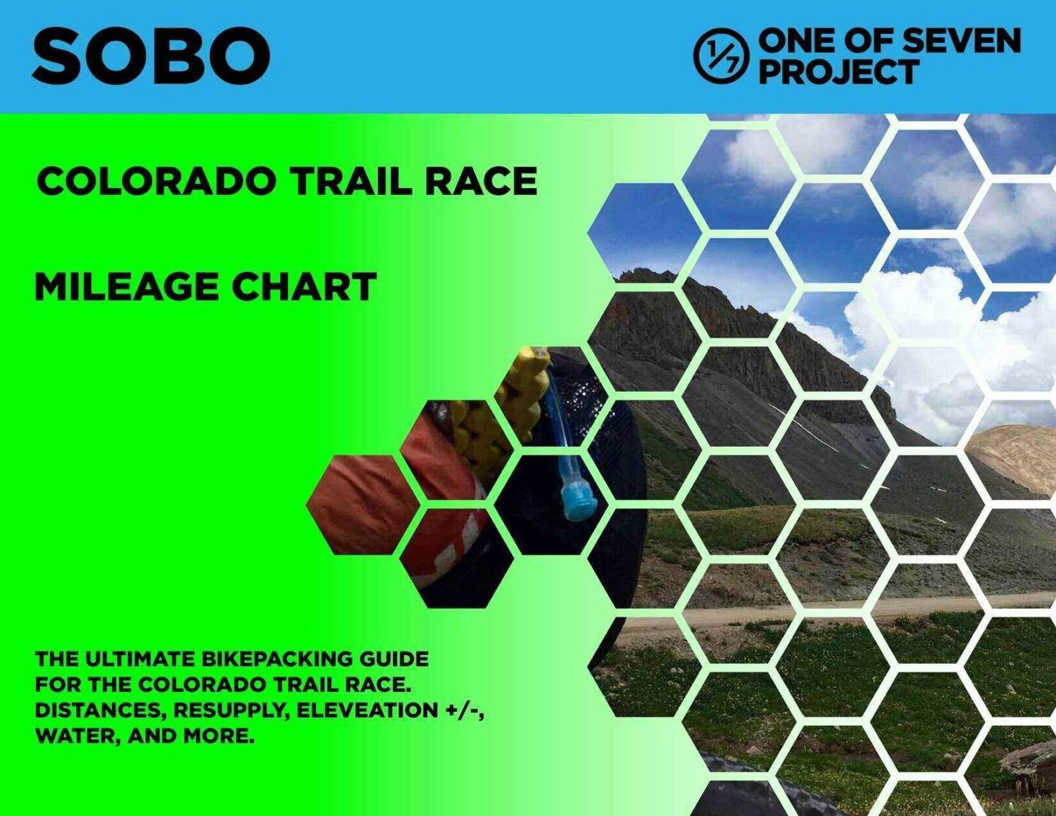
The Mileage Chart provides a quick-reference breakdown of distances between key points along the route, helping bikepackers plan resupply stops and daily targets efficiently.

  • Shows bike shops.
  • Works for both directions.
  • Key water sources.

The Elevation Gain Chart delivers a clear view of total elevation changes, allowing riders to anticipate climbs, descents, and overall route difficulty at a glance.

    • Shows bike shops.
    • Works for both directions.
    • Key water sources.

Available in both SOBO and NOBO versions and ONLY in US Standard units.

Mileage and Elevation Gain Carts are our available as part of the Big Bundle.

Big Bundle – $60.00  *You save $20 when you bundle!

What Are Planning Aids?

Colorado Trail Planning Aids

Our Colorado Trail Planning Aids are comprehensive resources designed to assist bikepackers in effectively planning and navigating their adventures. Whether you’re tackling challenging bikepacking routes, or exploring scenic trails, these aids deliver critical route data and information to simplify your preparation and keep you focused on your journey.

From mileage data to key resupply points and water sources, our Colorado Trail Planning Aids provide the essential details to help you stay on track and fully experience the trail. We aim to support your success, no matter how you choose to explore the outdoors.

Why Use Our Planning Aids?

Colorado Trail Planning Aids

Our Colorado Trail Planning Aids for bikepacking are trusted by experienced bikepackers, and endurance riders, because they simplify preparation and provide clarity where it matters most. With our Colorado Trail Planning Aids, you can:

  • Plan with Confidence: Know exactly what’s ahead, from water stops to elevation changes.
  • Save Time: Get all the key route details in one organized place—no more piecing together scattered info.
  • Stay Focused on the Journey: With your prep done, you’ll spend less time worrying and more time enjoying the experience.

What You Get

Colorado Trail Planning Aids

When you choose our Colorado Trail Planning Aids, you gain access to reliable and organized route-specific data, including:

  • Point-of-Interest (POI) Data:
    • Mileage markers, cumulative distances, and key stops along the route.
    • Locations for resupply points, water sources, bike shops, and other critical services.
  • Route Metrics:
    • Elevation gain/loss, max/min elevations, and pavement mileage.
    • Detailed charts to help you anticipate climbs, descents, and varying terrain.
  • Practical Notes for Riders:
    • Guidance for navigating remote areas, staying prepared for dry stretches, and hitting resupply points.
    • Finish targets and other planning details to set achievable goals for each ride.
  • Convenient Formats:
    • Delivered as easy-to-use PDF files, available in both SOBO (Southbound) and NOBO (Northbound) formats where applicable.
  • Free Updates Throughout the Year:
    • Planning Aids include the most current data available at the time of purchase and are valid through December 31 of that year. If new information becomes available, you’ll receive free updates via email to ensure you’re always using the latest data.

Colorado Trail Race Maps

Ride with GPS Maps

Plan Smarter with our Colorado Trail Race Maps and Planning Aids

The Colorado Trail Race is one of the most challenging bikepacking routes in the world, stretching thousands of miles through remote terrain and breathtaking landscapes. Proper preparation is essential for success, and these interactive maps, based on the official race route, are designed to complement the One of Seven Project’s Colorado Trail race Planning Aids, giving you a powerful combination of tools to streamline your planning process.

  • Route visualization: Use the maps to explore the route, identify Points of Interest (POIs), and understand the trail’s layout. Icons represent water sources, resupply points, towns, and bike shops, offering a high-level view of critical stops along the way.
  • Downloadable backup: By downloading these maps from Ride with GPS, you’ll have a reliable backup GPX file to use if your GPS device runs out of battery or breaks.
  • Detailed insights: Dive deeper into the Planning Aids for essential data like mileage, elevation gain/loss, resupply strategies, and water details—organized to help you tackle the unique challenges of the Colorado Trail with confidence.

Together, these resources provide everything you need to map out a realistic strategy for tackling the Tour Divide, whether you’re racing or touring. Start planning your adventure today!

As an affiliate partner, One of Seven Project earns a commission for purchases made through any product, brand logo links, or banner ads on this page. Thanks for your support!

WATER RESUPPLY OPTIONS

Colorado Trail Resupply Guide

Hydration on the Colorado Trail Race

Proper hydration is crucial for a successful and safe Colorado Trail Race experience. The route, spanning from Denver to Durango, covers diverse terrains and climates, each presenting unique challenges in sourcing and managing water. There are numerous small streams along the entirety of the route. Reliability of these change from season to season and year to year. This guide aims to provide you with essential information about water sources, filtration methods, and best practices for carrying water.

Key Areas with Limited Water Availability

Several stretches of the Colorado Trail Race are notorious for their lack of reliable water sources. Here are some areas where you need to be particularly vigilant:

  1. Stony Pass to Spring Creek Pass:
    This section is above the tree line and often lacks reliable water sources. Plan to carry extra water and know your resupply points in advance.
  2. Other Above Tree Line Areas:
    Other sections above the tree line can also have limited water availability. Be prepared by carrying sufficient water and identifying potential water sources beforehand.

Insights on Water Carrying Capacity and Delivery Systems

Use your best judgement, filter unknown sources, do your research before you go (The CTF Data Book and the FarOut App are both great resources for water sources). According to the responses from the Colorado Trail Rider Survey, riders use various strategies to manage their water needs:

  • Water Carrying Capacity: The majority of riders carry between 2 to 4 liters of water. Those touring might consider having a larger capacity due to lower mileage per day.
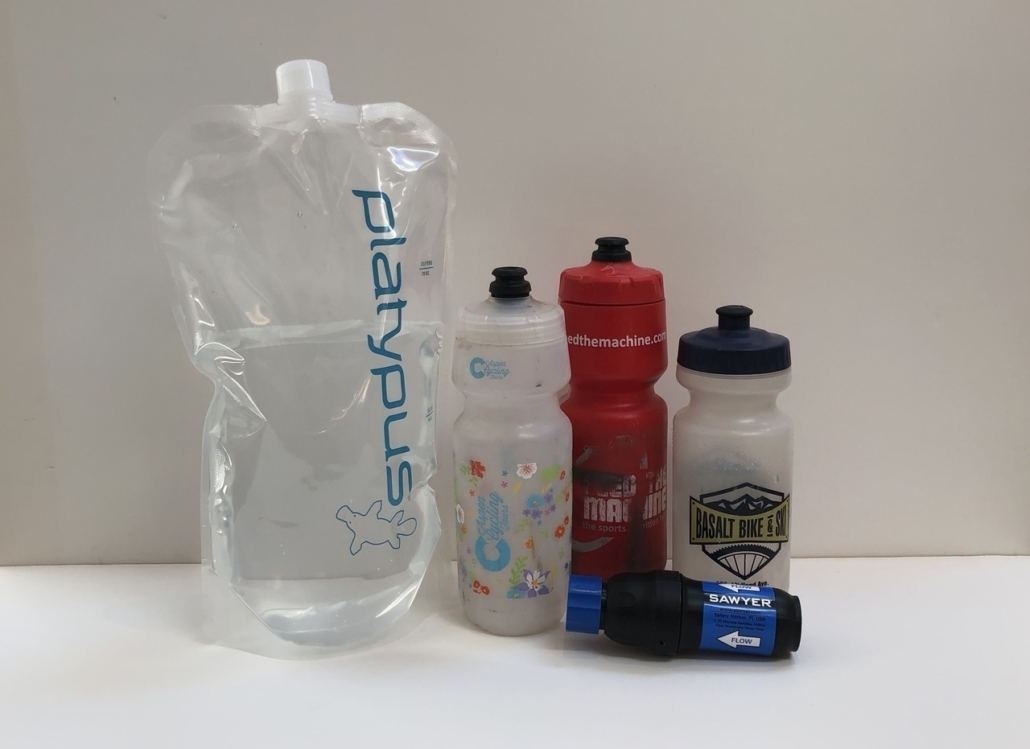
  • Preferred Delivery Systems: Hydration Bladders on the bike and Bottles / Hydration Pack and Bottles: These two combinations were tied as the top delivery system. Both offer convenience and simplicity. Hydration Packs  allow for easy sipping without stopping and take some weight off one’s bike, which in turns makes all the HAB a bit easier.

Hydration Strategies

To effectively manage your water needs, consider the following tips:

  • Carry Sufficient Water: Ensure you have enough water for long stretches, especially in areas with limited availability. It’s better to carry extra water to avoid running out.
  • Use Reliable Filtration Methods: Always filter or treat water from natural sources to prevent waterborne illnesses. Carry a reliable water filter or purification tablets.
  • Plan Ahead: Use our Colorado Trail Planning Aids to identify water sources along the route. Knowing where and when to resupply can help you avoid dehydration.
  • Monitor Your Intake: Keep track of your water intake and ensure you’re drinking enough, especially in hot or high-altitude conditions.
  • Include Electrolytes: Ensure you have a strategy for replenishing electrolytes, especially during hot or strenuous sections. Electrolyte tablets or powders can help maintain your energy levels and prevent dehydration.

By following these tips and utilizing our Colorado Trail Planning Aids, you can effectively manage your water supplies and stay hydrated throughout your

To the right, you’ll find our free resource with essential tools for your Colorado Trail adventure, including a Mileage Difference Chart, Gear List, Bike Shop List, Planning Checklist, Itinerary, Mail Drop Planner, and Food Planner. This free version offers a solid starting point to kick off your planning.

For those seeking comprehensive and in-depth guidance, our full Colorado Trail Race Planning Aids are your go-to resource. These detailed tools provide the most complete information available, helping you to plan and execute your ride with precision. Check them out for a thorough preparation and maximize your chances of success. Best of luck on your journey!

CTR, free, resource, planning bikepacking

This spreed sheet is available on Google Docs, Please go to “Edit”, then select, ” Copy”. When pasting use Control(Command) – Shift – Paste or it won’t work. You’ll have to adjust column sizes. Then make all the changes you like! Happy planning and trails.

Colorado Trail Race Rider Survey

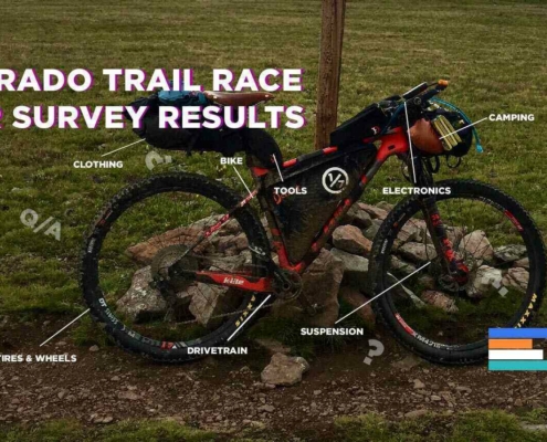
The Project conducts an ongoing rider survey to assist new riders in selecting the right gear for the Colorado Trail Race. Embarking on an adventure like the CTR can be daunting, and the planning process overwhelming. We hope this survey will aid new riders in their preparation and execution of their Colorado Trail ride, ensuring they are better equipped for their adventure.

If you haven’t taken the Colorado Trail Race Rider Survey yet, we encourage you to participate through the links below.

***Please pay close attention to the examples provided for questions requiring typed answers. If responses are not entered exactly as shown in the examples, I will need to correct them, which can skew the results. Thank you in advance!

CTR Rider Survey Results Example

Covers: bikes, suspension, tires & wheels, drivetrain, and Components.

Covers: navigation planning, camping, logistic/travel, clothes, and more.

Support the Colorado Trail Foundation

Although the Colorado Trail Foundation is not affiliated with the race, they are the dedicated stewards responsible for managing and maintaining the trail. Thanks to their efforts and the support of their members, we have the privilege of enjoying this incredible trail. Please consider donating, become a member, or joining a work crew of the Colorado Trail Foundation to support their ongoing work and ensure the trail remains in excellent condition.

Colorado Trail Logo- One of Seven Project - colorado trail guide Planning Aids

More Helpful CTR Resources

Everything you need to plan a bikepacking trip on the CTR.
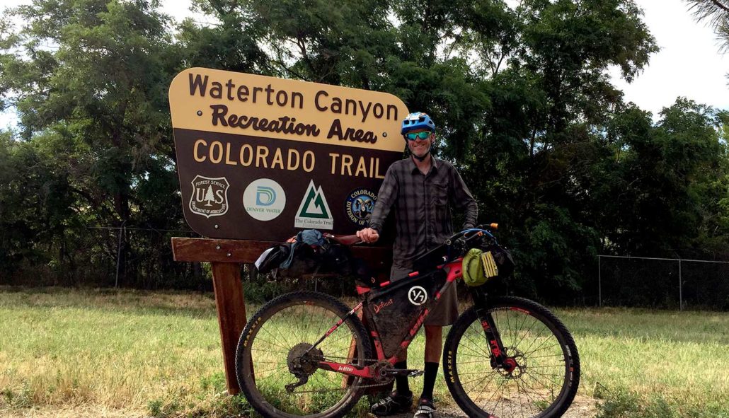
Colorado Trail Planning Aids: Resupply, Mileage, and More

Colorado Trail: My Prove Triple Crown Bikepacking Gear

A detailed look at what I used on the CTR, what worked and what didn’t.

Colorado Trail Gear: What Worked Well and What’s Even Better

  • Proven Bikepacking Gear | Tested during the Colorado Trail Race & Triple Crown

In depth look at what I would bring for gear and why, if I rode the CTR again.

Colorado Trail Rider Survey: Essential Gear Insights for New Riders

  • Insights from the Colorado Trail Rider Survey, gathering real data from bikepackers about their experiences racing the CTR.

Curios to know what gear other riders used to get to the finish line? Checkout our Rider Surveys to find out what works or to take the survey yourself.

Ultimate Guide to Colorado Trail

Route, Resources, and More


Colorado Trail bikepacking Craig Fowler- Bikepacking lessons

The Colorado Trail Race FAQ is the ultimate one stop to answer all your questions.