As an affiliate partner, One of Seven Project earns a commission for purchases made through any product, brand logo links, or banner ads on this page. Thanks for your support!

For more information on the Colorado Trail visit our CT Resource page. »
Are you curious about bikepacking the Colorado Trail or racing the Colorado Trail Race?
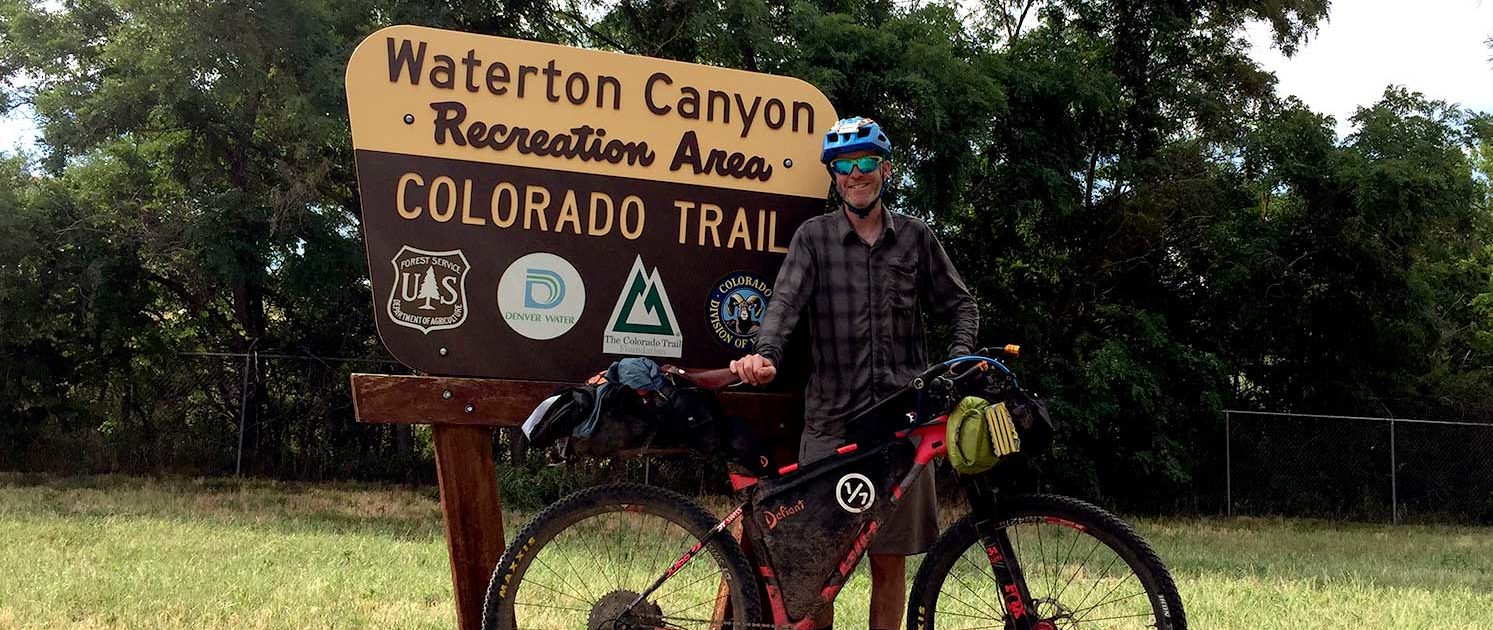
I raced it as part of my Bikepacking Triple Crown (Arizona Trail Race, Tour Divide, and Colorado Trail Race) in 2017. Amazing doesn’t start to describe the experience. It did take a lot of planning though. So if you have a desire to race or tour the Colorado Trail (CT), read on to learn more with this Colorado Trail Guide.
I pulled the following information together for people like us, the explorers and adventurers. After my Colorado Trail Race I realized there was a need for a Colorado Trail Guide for bikepackers. This page is divided up into simple sections so you can quickly get a feel for the route. As part of a larger all inclusive guide, this page and corresponding pages will allow you to focus on riding your bike instead of searching the internet for hours on end.
Where does one start the planning process? This page is a great starting point, but if you want more information, checkout the “Colorado Trail Race Resources” button below. Watch out though, you just might find yourself on the starting line in July!
Shopping with our affiliates helps fund the development of content like this.
The Project conducts an ongoing rider survey to help new riders try to figure out what gear to use during the Colorado Trail Race. Undertaking a ride/adventure like the CTR can be very intimidating and the planning can be overwhelming. It’s our hope this survey will help new riders with their planning and execution of their CTR, as well as help ensure riders are more properly prepared for their adventure.
***Please pay attention to the examples for the questions where you have to type in your answer. If answers are not entered EXACTLY like the example I have to go in and correct them and it also throws off the results. Thanks in advance!
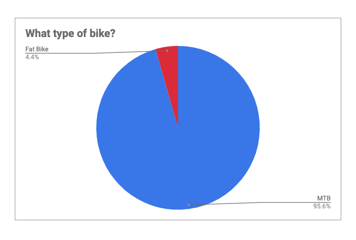
Covers: bikes, suspension, tires & wheels, drivetrain, and Components.
Covers: navigation planning, camping, logistic/travel, clothes, and more.
527 Miles (848km)
9
70,000+ Feet (21,336m)
13,271 Feet (4,045m)
55%
3 – 14+ Days
80%
July to September
August 11, 2024
4 am Waterton Canyon
Littleton & Durango
Male: Timon Fish (2023) 3:16:13
Female: Katya Rakhmatulina (2023) 5:01:53
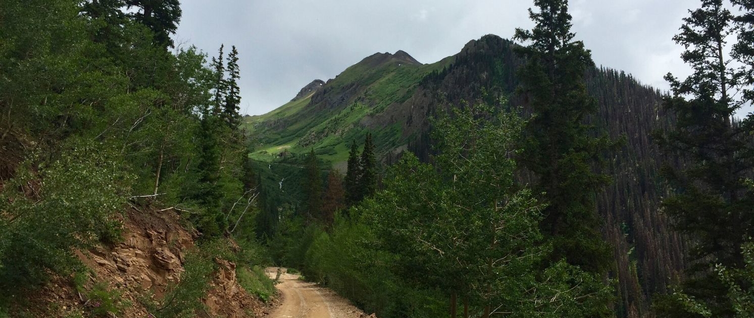
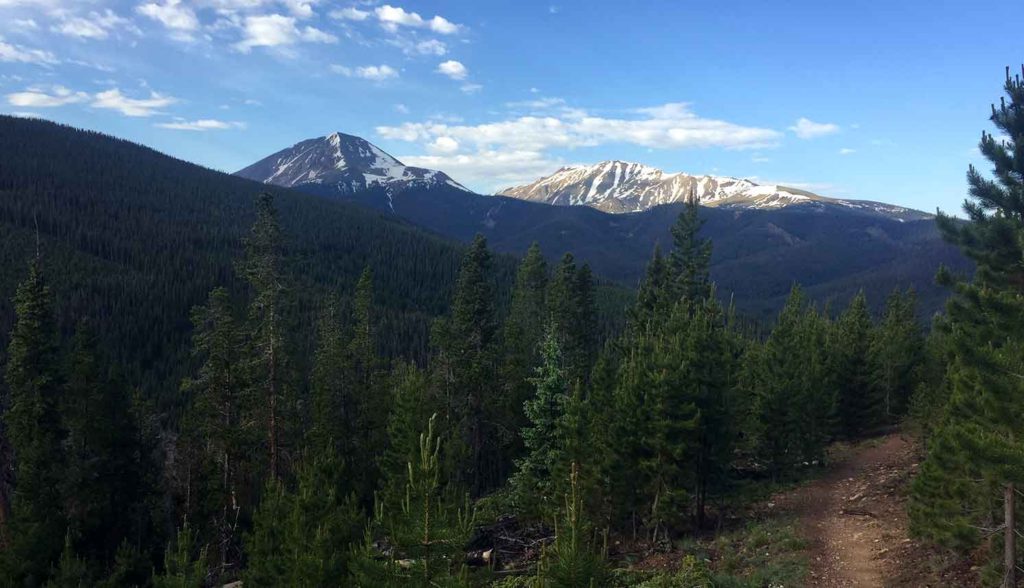
The Colorado Trail is a monster of a trail, but this shouldn’t sway you from bikepacking it. The Colorado Trail is a multi use trail that runs 500 miles (529 by bicycle) from Waterton Canyon in Littleton, Colorado to Durango, Colorado. It holds immense beauty around almost every turn. With an average elevation of over 10,000 feet your lungs and legs will be tested. Bring your rain jacket, you will get caught in afternoon thunder storms.
Your race/tour of the CT will involve you crossing six National Forests, six wilderness areas, eight mountain ranges, and five major river systems. The Colorado Trail Race (CTR) is known as one of the hardest, if not the hardest and most scenic bikepacking routes in the entire United States.
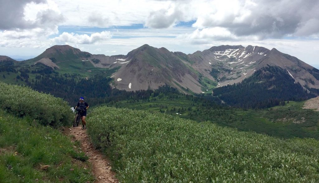
During the 2017 Colorado Trail Race the average amount of H.A.B (Hike-A-Bike) was about 70 miles. That equals 13% of the total distance. If you were to complete the race in seven days, one day of the seven would be HAB! With this in mind be sure you’ve dialed in your set up. More weight on the bike means a heavier push. Even more important, make sure your shoes are comfortable and don’t give you blisters.
Resupply on the Colorado Trail Race is fairly easy except for one section. From Princeton Hot Springs to Silverton its 183 miles. That’s around three days at 60 miles a day. This is probably the hardest section of the entire race. You’ll want to be sure you have extra food. Princeton Hot Springs and Stagestop Store & Saloon have the smallest options for resupply, while the rest are either full service or have adequate supply options.
If singletrack is what you’re looking for, then this is the trail for you. The riding is simply amazing, but know that at race pace you may not be able to enjoy much of it. Touring the route might be a better option.
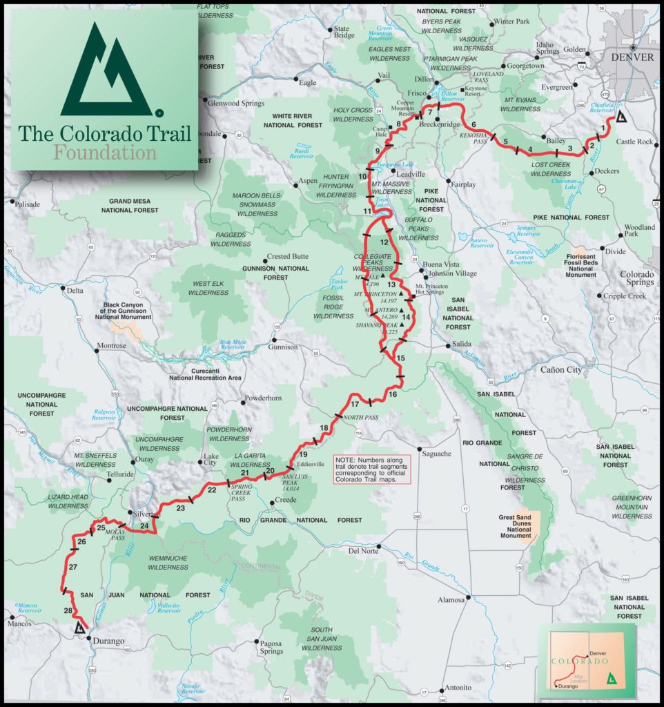
This map shows the hiking route, NOT the bike route. But you get the picture.
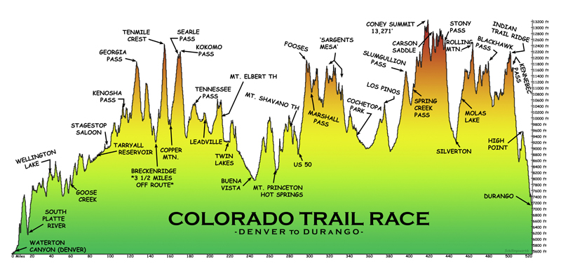
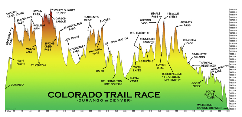
Elevation profiles provided by John Schilling. Support John’s effort by purchasing prints, sticks and mugs of these profiles.
COLORADO TRAIL RACE
The Colorado Trail Race is not organized or sanctioned in any fashion. It’s seen as big group ride that follows a predetermine route, start time, a short list of rules and that’s it. Those who partake should understand the rules and obey the gentleman’s agreement to “race” fairly. There are no organizers, checkpoints, and or aid of any kind. You’re solely responsible for yourself.
The Colorado Trail Race starts in either Waterton Canyon or Durango depending on the year. On odd numbered years the race travels South to North (or West to East) and on even numbered years it travels North to South (or East to West).
August 11, 2024 4am Waterton Canyon
RULES
Bikepack racing is usually not organized, is without entry fees or prizes, but there are a set of rules all bikepacking races follow. The rules are put into place to create a level playing field for all those who participate.
*Note these rules are the general rules for bikepack racing and each event may have their own specific rules and they also change from time to time. With that said it’s important you read and understand the official rules which can be found at the link below.
1. Self Supported. One must complete the entire route under their own power.
2. Stay on Course.
3. Be Nice and don’t break the law.
4. Leave No Trace.
Official expanded rules found at jwookieone. (GO READ THEM AND MEMORIZE THEM).
No entry fee, no prizes, absolutely no support
SPOT TRACKING
You are encouraged to use a Spot tracker, (they are not mandatory). Due to the nature, difficulty and lack of support, I personal believe you’d be nuts not to. If you want to be included in the tracking of the race, you can sign up at Trackleaders.com one month before.
SPOT HIRE
Spot Gen3 are available from Trackleaders.com around one month before the start of the race, if you’re looking to rent one. Check Bikepacking.net forums, Facebook or Trackleaders for more information.
SUPPORT THE COLORADO TRAIL FOUNDATION
The Colorado Trail Foundation has no affiliation to the race but they are the acting stewards of the trail and help manage/maintain it. Because of them and their members you have this amazing trail to ride. Please consider donating or joining the Colorado Trail Foundation, so they may continue their amazing work.
Being that I’m also a Triple Crown thru-hiker I’m used to quality planning tools. After finishing the Bikepacking Triple Crown I realized bikepacking didn’t have quality planning tools available. The Project’s Planning Aids and Resources are our answer to this.
After 100’s of hours of research, 1000’s of keystrokes, more emails and phone calls than I can recall the One of Seven Project’s Colorado Trail Race Planning Aids are done. They’re the ultimate planning resources for the Colorado Trail Race. They contain everything you need to plan and execute your race/ride of the CTR. If you can’t find what you’re looking for in these then it’s probably in our Colorado Trail Resources.
IMPORTANT NOTES:
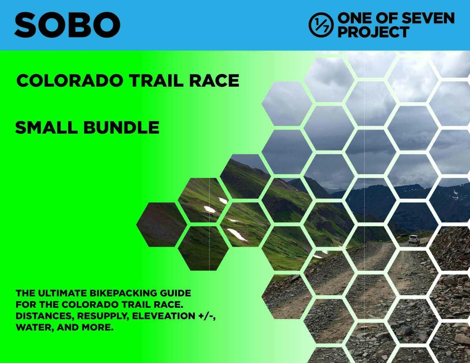
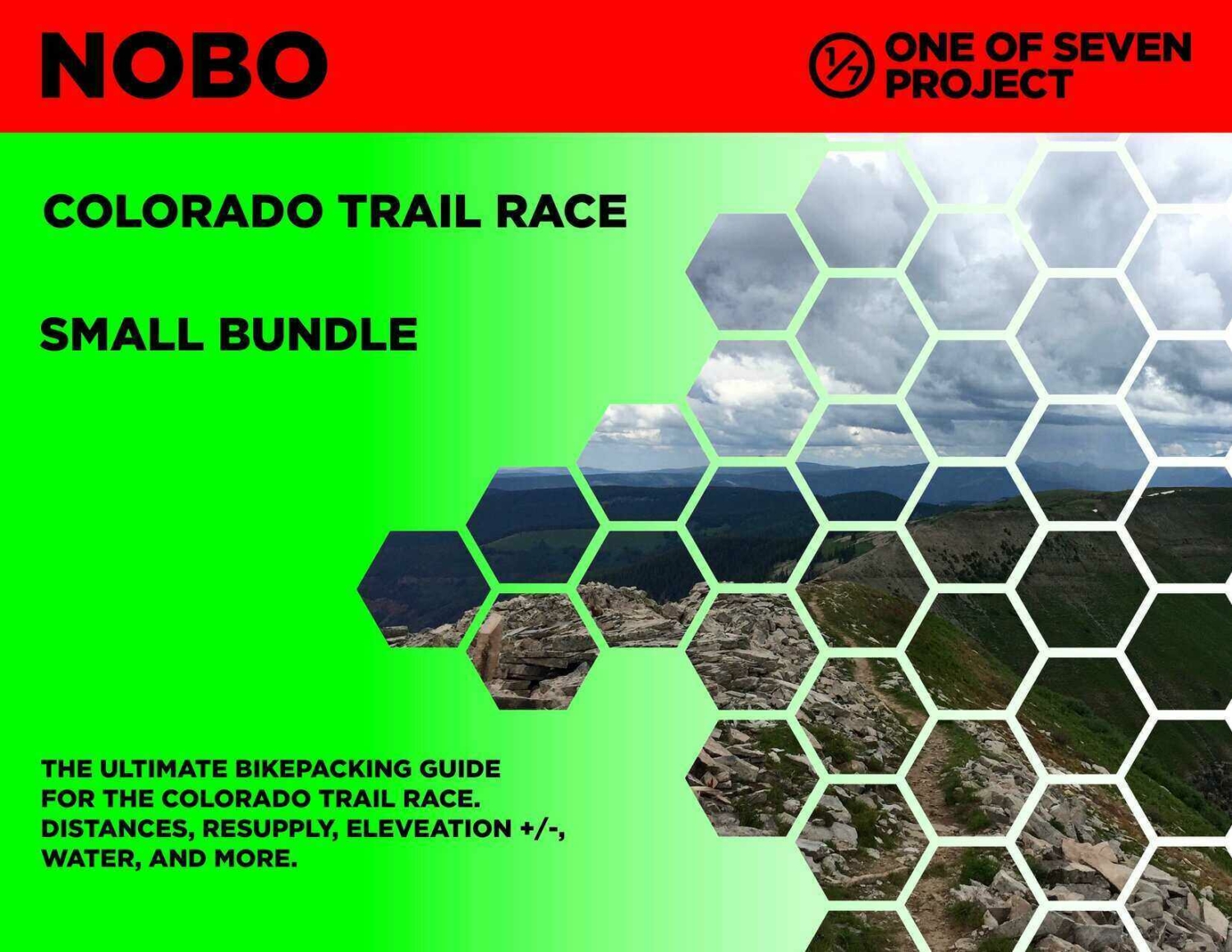
One package including our two most popular planning aids.
One package including all of our planning aids.
Available in both SOBO and NOBO versions and ONLY in US Standard units.
Small Bundle – $40.00 + tax (CO only) *You save $10 when you bundle!
Big Bundle – $60.00 + tax (CO only) *You save $20 when you bundle!
Gives you the most information of any planning aid.
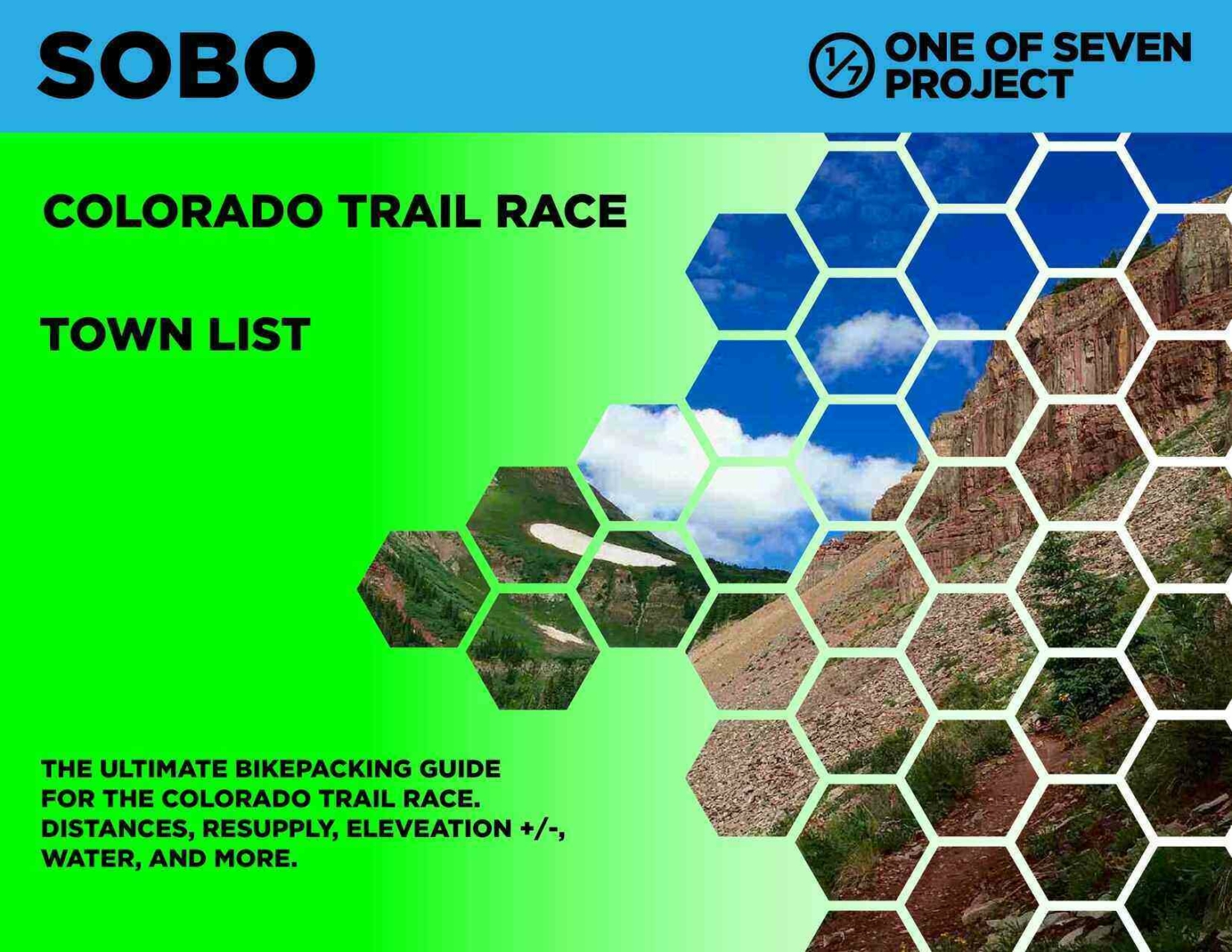
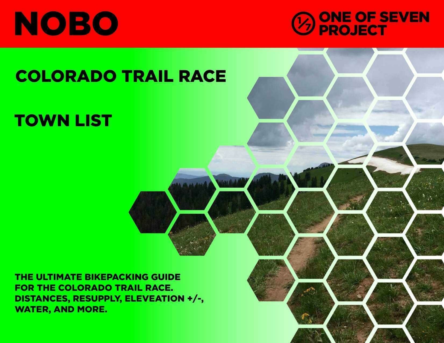
Similar to the Data Sheet, with slightly less information, but displayed showing cumulative mileage and elevation gain.
Data Sheet includes:
Town List includes:
All versions of the Town Lists are ONLY available as part of the Small or Big Bundles.
Available in both SOBO and NOBO versions and ONLY in US Standard units.
Data Sheet – $25 + Tax (CO only)
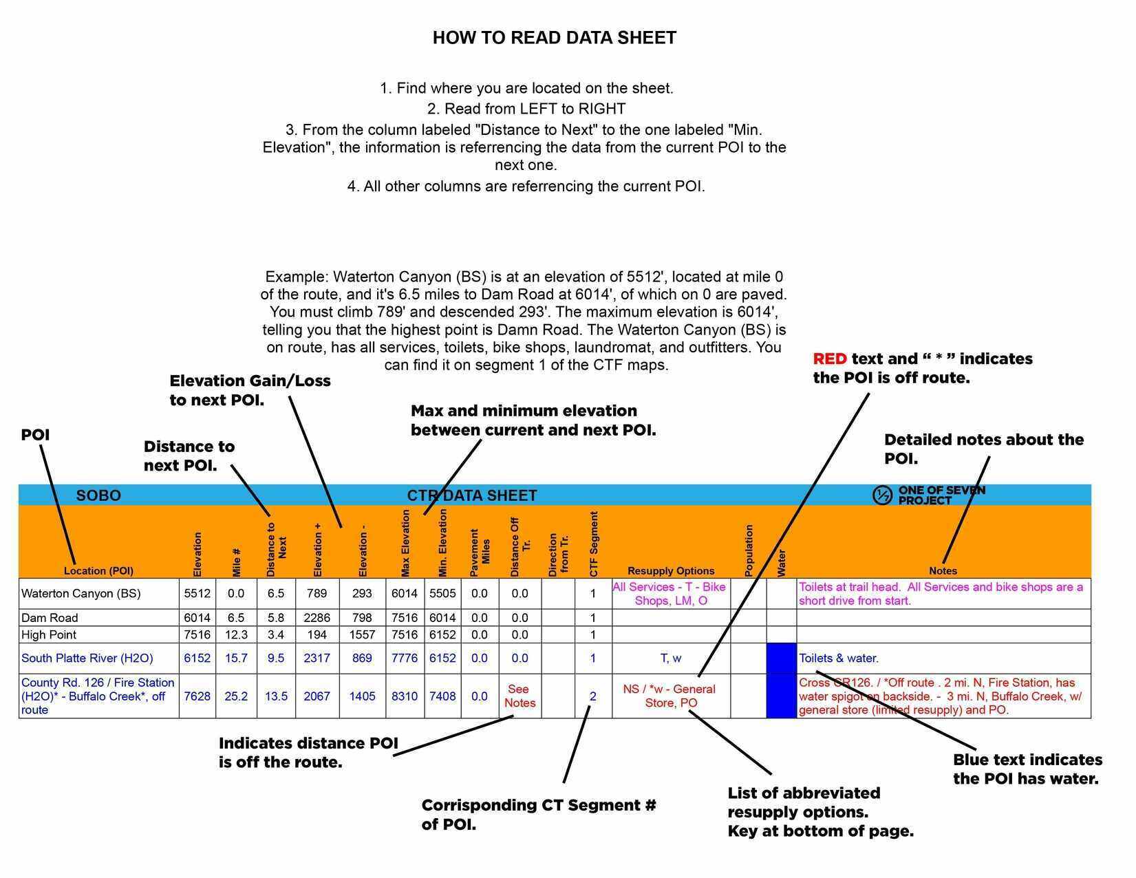
Example of Data Sheet
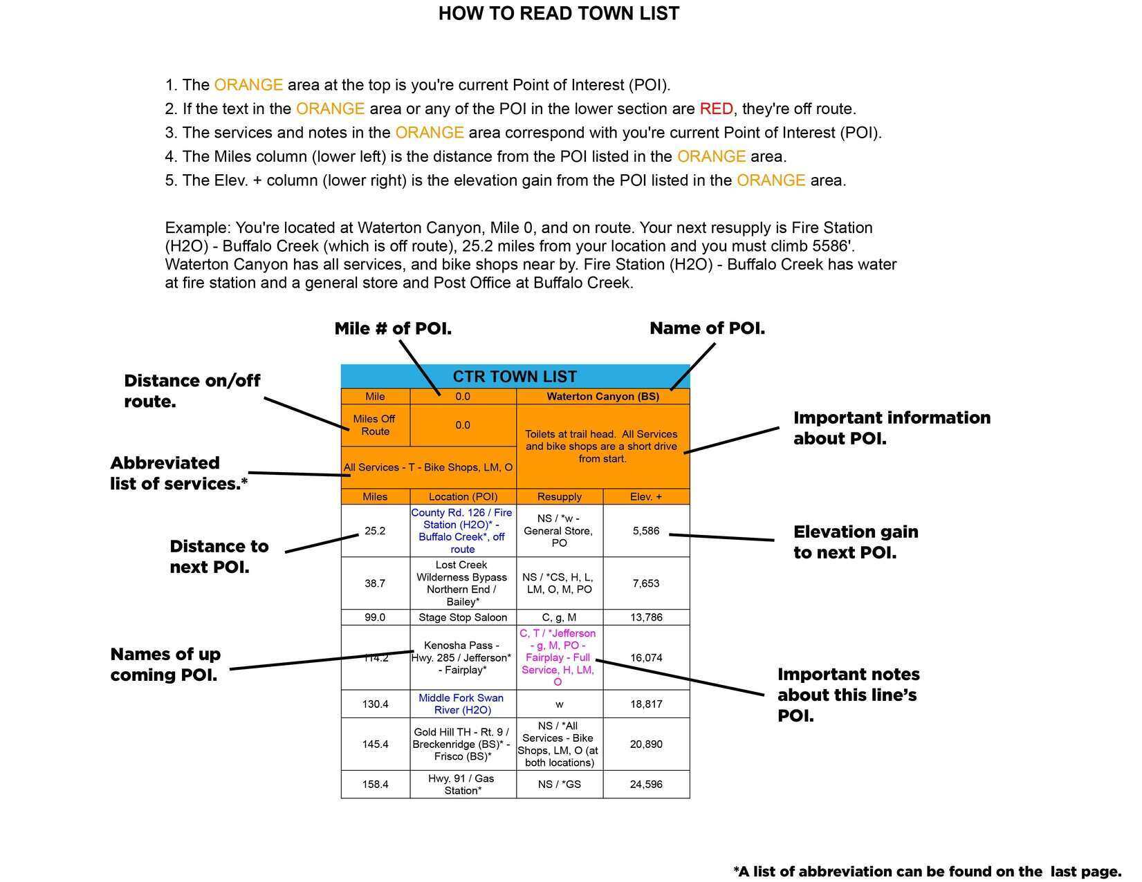
Example of Town List
DATA SHEET and TOWN LIST DIFFERENCES
The Data Sheet has the most info. It gives the distance, elevation +/-, average grade, maximum and minimum elevations, pavement sections, references ACA maps, bike shops, resupply options, and has key notes between two POI. Example: A and B, then B to C, and so on.
The Town List gives cumulative distances between POI. Example: A to B, A to C, A to D. The next section would be B to C, B to D, B to E, and so on. The Town List has distance, elevation +/-, resupply options, bike shops and key notes.
The Town List helps with not having to do the math to figure out how far away things are if they’re not the next POI.
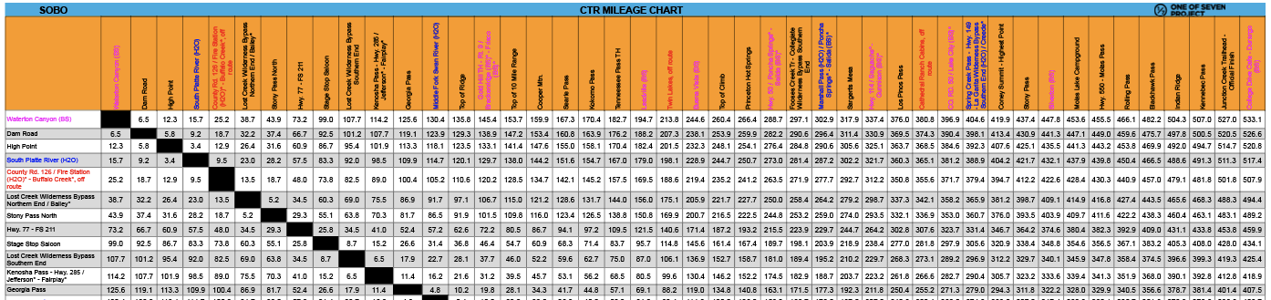
Quickly find the total mileage between any two POI along the route.
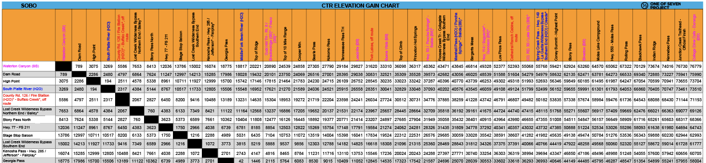
Quickly find the total elevation gain between any two POI along the route.
The Mileage and Elevation Gain Charts are ONLY available as part of the Big Bundle.
Example of Mileage Chart
Example of Elevation Gain Chart
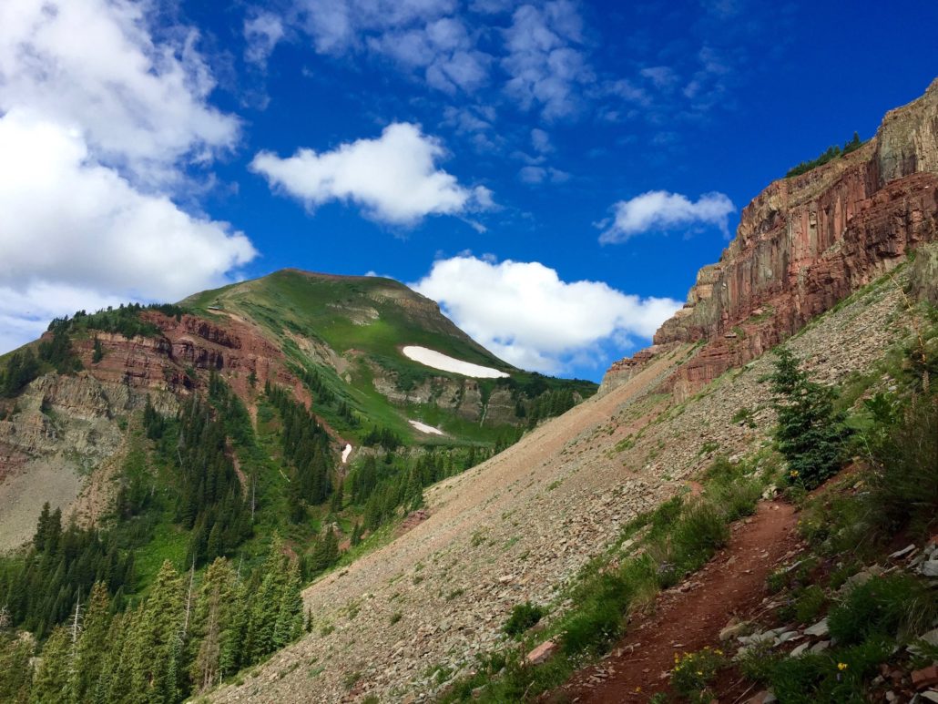
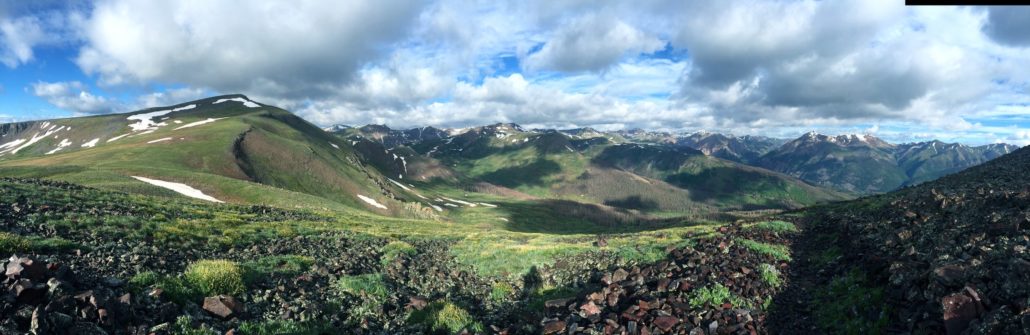
DANGERS & PITFALLS



MAPS & APPS
Everything you need to plan a bikepacking trip on the CTR.
 https://oneofsevenproject.com/wp-content/uploads/2020/03/Untitled-design-49.jpg
857
1493
Craig Fowler
http://oneofsevenproject.com/wp-content/uploads/2017/01/1of7-logo-lockup-grey-1132x212-300x56.png
Craig Fowler2020-03-26 19:58:502024-06-20 08:40:17Gear Review - If I Rode the Colorado Trail Race Again
https://oneofsevenproject.com/wp-content/uploads/2020/03/Untitled-design-49.jpg
857
1493
Craig Fowler
http://oneofsevenproject.com/wp-content/uploads/2017/01/1of7-logo-lockup-grey-1132x212-300x56.png
Craig Fowler2020-03-26 19:58:502024-06-20 08:40:17Gear Review - If I Rode the Colorado Trail Race Again https://oneofsevenproject.com/wp-content/uploads/2023/12/rsz_2024_ctr_ds_sb_10.jpg
1275
1650
Craig Fowler
http://oneofsevenproject.com/wp-content/uploads/2017/01/1of7-logo-lockup-grey-1132x212-300x56.png
Craig Fowler2020-03-06 20:01:362024-06-20 08:40:54Colorado Trail Race Planning Aids
https://oneofsevenproject.com/wp-content/uploads/2023/12/rsz_2024_ctr_ds_sb_10.jpg
1275
1650
Craig Fowler
http://oneofsevenproject.com/wp-content/uploads/2017/01/1of7-logo-lockup-grey-1132x212-300x56.png
Craig Fowler2020-03-06 20:01:362024-06-20 08:40:54Colorado Trail Race Planning Aids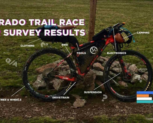 https://oneofsevenproject.com/wp-content/uploads/2019/11/rsz_ctr_sr_cover_2.jpg
857
1493
Craig Fowler
http://oneofsevenproject.com/wp-content/uploads/2017/01/1of7-logo-lockup-grey-1132x212-300x56.png
Craig Fowler2019-11-04 20:29:022024-06-20 08:49:11Colorado Trail Rider Survey Results
https://oneofsevenproject.com/wp-content/uploads/2019/11/rsz_ctr_sr_cover_2.jpg
857
1493
Craig Fowler
http://oneofsevenproject.com/wp-content/uploads/2017/01/1of7-logo-lockup-grey-1132x212-300x56.png
Craig Fowler2019-11-04 20:29:022024-06-20 08:49:11Colorado Trail Rider Survey Results https://oneofsevenproject.com/wp-content/uploads/2018/11/Untitled-design-15-1.jpg
857
1493
Craig Fowler
http://oneofsevenproject.com/wp-content/uploads/2017/01/1of7-logo-lockup-grey-1132x212-300x56.png
Craig Fowler2018-04-11 10:39:532024-07-24 12:06:34Colorado Trail Planning Guide
https://oneofsevenproject.com/wp-content/uploads/2018/11/Untitled-design-15-1.jpg
857
1493
Craig Fowler
http://oneofsevenproject.com/wp-content/uploads/2017/01/1of7-logo-lockup-grey-1132x212-300x56.png
Craig Fowler2018-04-11 10:39:532024-07-24 12:06:34Colorado Trail Planning Guide https://oneofsevenproject.com/wp-content/uploads/2018/11/Untitled-design-14.jpg
857
1493
Craig Fowler
http://oneofsevenproject.com/wp-content/uploads/2017/01/1of7-logo-lockup-grey-1132x212-300x56.png
Craig Fowler2018-04-11 10:37:482024-07-24 11:39:32Colorado Trail Transportation Guide
https://oneofsevenproject.com/wp-content/uploads/2018/11/Untitled-design-14.jpg
857
1493
Craig Fowler
http://oneofsevenproject.com/wp-content/uploads/2017/01/1of7-logo-lockup-grey-1132x212-300x56.png
Craig Fowler2018-04-11 10:37:482024-07-24 11:39:32Colorado Trail Transportation Guide https://oneofsevenproject.com/wp-content/uploads/2018/04/rsz_1img_6609.jpg
857
1493
Craig Fowler
http://oneofsevenproject.com/wp-content/uploads/2017/01/1of7-logo-lockup-grey-1132x212-300x56.png
Craig Fowler2018-04-11 10:36:462024-07-24 12:25:32Colorado Trail Resupply Guide
https://oneofsevenproject.com/wp-content/uploads/2018/04/rsz_1img_6609.jpg
857
1493
Craig Fowler
http://oneofsevenproject.com/wp-content/uploads/2017/01/1of7-logo-lockup-grey-1132x212-300x56.png
Craig Fowler2018-04-11 10:36:462024-07-24 12:25:32Colorado Trail Resupply Guide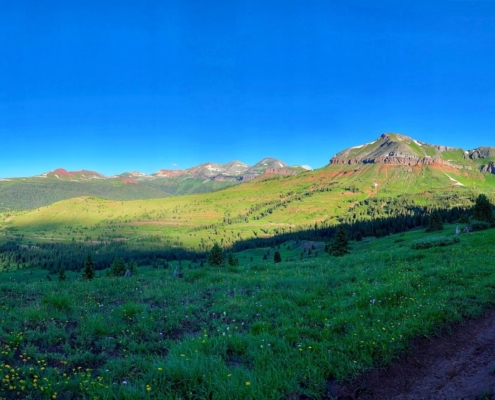 https://oneofsevenproject.com/wp-content/uploads/2019/12/LC4-13.jpg
857
1493
Craig Fowler
http://oneofsevenproject.com/wp-content/uploads/2017/01/1of7-logo-lockup-grey-1132x212-300x56.png
Craig Fowler2019-12-03 17:20:342020-10-28 09:40:19Colorado Trail Race Journal
https://oneofsevenproject.com/wp-content/uploads/2019/12/LC4-13.jpg
857
1493
Craig Fowler
http://oneofsevenproject.com/wp-content/uploads/2017/01/1of7-logo-lockup-grey-1132x212-300x56.png
Craig Fowler2019-12-03 17:20:342020-10-28 09:40:19Colorado Trail Race Journal https://oneofsevenproject.com/wp-content/uploads/2019/10/LC4-3.jpg
857
1493
Craig Fowler
http://oneofsevenproject.com/wp-content/uploads/2017/01/1of7-logo-lockup-grey-1132x212-300x56.png
Craig Fowler2019-07-31 16:54:172020-03-07 12:02:12Faces of the CTR - 2019
https://oneofsevenproject.com/wp-content/uploads/2019/10/LC4-3.jpg
857
1493
Craig Fowler
http://oneofsevenproject.com/wp-content/uploads/2017/01/1of7-logo-lockup-grey-1132x212-300x56.png
Craig Fowler2019-07-31 16:54:172020-03-07 12:02:12Faces of the CTR - 2019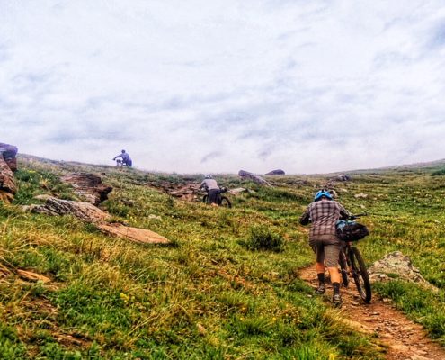 https://oneofsevenproject.com/wp-content/uploads/2018/04/IMG_5773.jpg
736
1280
Craig Fowler
http://oneofsevenproject.com/wp-content/uploads/2017/01/1of7-logo-lockup-grey-1132x212-300x56.png
Craig Fowler2018-04-11 10:35:442020-10-28 10:06:30COLORADO TRAIL HARDEST HABS
https://oneofsevenproject.com/wp-content/uploads/2018/04/IMG_5773.jpg
736
1280
Craig Fowler
http://oneofsevenproject.com/wp-content/uploads/2017/01/1of7-logo-lockup-grey-1132x212-300x56.png
Craig Fowler2018-04-11 10:35:442020-10-28 10:06:30COLORADO TRAIL HARDEST HABS



Simply clicking on the links below with our affiliates supports the Project.
Or checkout our Deals page to save big!